Hiking Tinker Cliffs is not for the faint of heart. The Tinker Cliffs/Andy Layne Trail is one leg of Virginia’s Appalachian Trail “Triple Crown” along with Dragons Tooth and McAfee Knob. The entire loop is 35 miles (56 km) and features the best overlooks in the entire state of Virginia. Tinker Cliffs is a 7.6 mile (12.2km) round trip that ascends 1,945’ (593m) to a height just shy of 3,000’ (914m) above sea level. At the top there are a series of individual overhanging rocks that provide fantastic views looking down into the Roanoke and Catawba Valleys.

Many claim Tinker Cliffs is the most difficult of the “Triple Crown” hikes. We would say yes . . . and no. There are a few sections that are very steep that feel like they go on forever but the remaining portions are quite easy. Along the way you’ll encounter some beautiful forests, amazing rocks, a few wooden bridges and a nice creek. The reward at the end is not just one, but many different overlooks down into the valley. We just missed the peak foliage season but hiking Tinker Cliffs still rewarded us with magnificent views and just about perfect weather. That being said, it is best if you are in good travel shape.
Let’s get started . . .
Jump to a specific place.
The Start

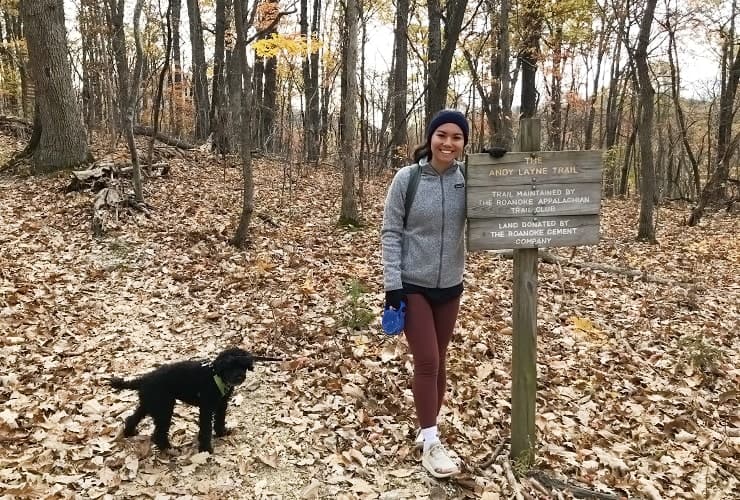
Hiking Tinker Cliffs begins just off Little Catawba Creek Road (Rt. 779) in the Andy Layne Trail Parking lot. It can only hold around 15 cars and it’s the only parking option. It’s usually best to get there early to get a spot and, if visiting in the summer, to at least get a few hours of cooler weather. The trailhead is on the east side of the parking lot directly in the middle. There is a board with a map of the trail as well as other related posts. The trail itself is really simple to follow so no need to worry too much about getting lost.
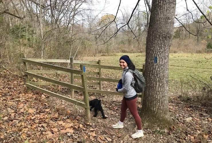
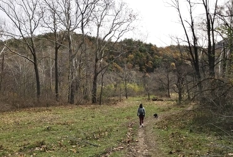
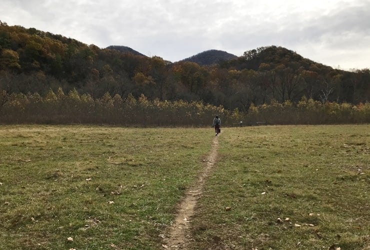
You’ll start on the Blue trail heading uphill and then descending back down. Our first thought was how that incline was going to feel on our way back (more on that later). About 10 minutes in you’ll see a small wood “gate” that marks the beginning of a stretch of private property you’ll pass through. It’s a pleasant flat stretch that serves as a good warm-up while delivering beautiful views of the mountains straight ahead of you.
The Bridges
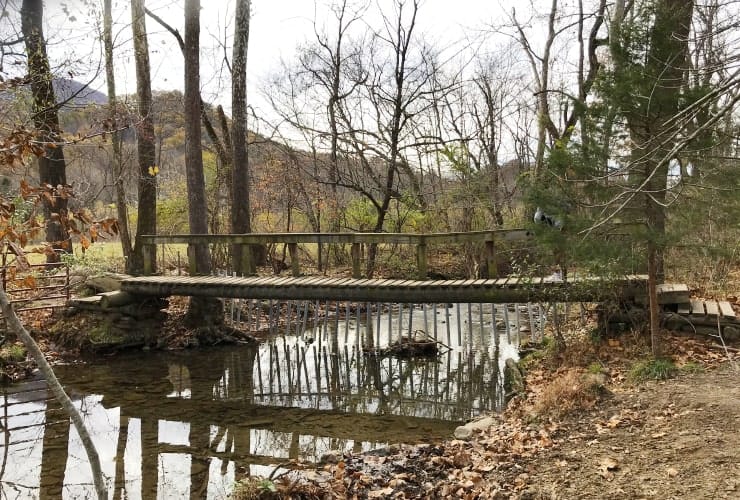
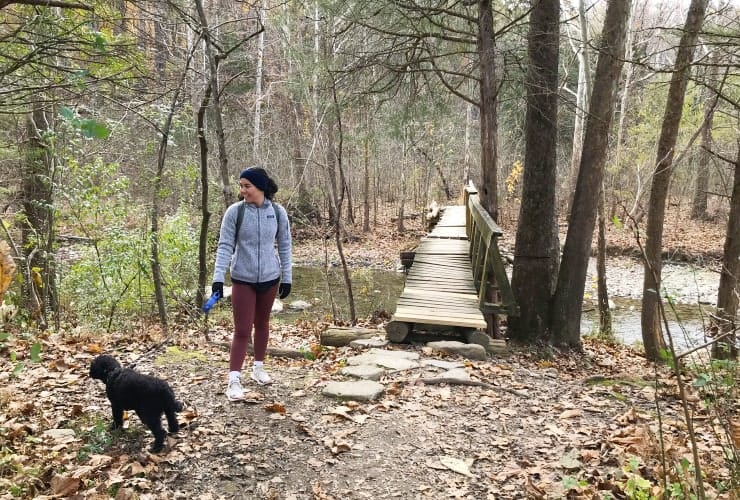
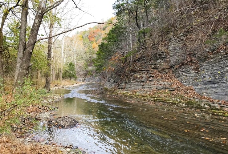
At about the 0.6 mile (0.97km) you’ll encounter a rather rickety wooden bridge (hand rails only on one side) that crosses the Catawba Creek. After crossing there is a beautiful open stretch that leads to a second wooden gate which meanders down to a second bridge. This bridge is even more rickety than the first. It’s perfectly safe but still take your time crossing.
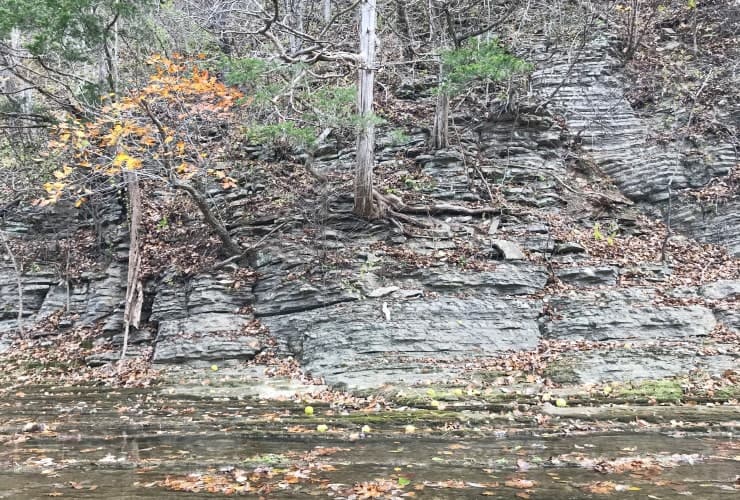
Just before the bridge there is a trail to your left that leads you to a different view of the creek. It’s worth the side trip alone just to see the west-facing rock face. The creek takes a sharp 90° angle around the bend and runs parallel to a steep cliff that, when the water is up, actually helps feeds the creek as well. If you walk around the bend you’ll see the bridge but make sure you go back on the trail as you are on private property.
Private Property
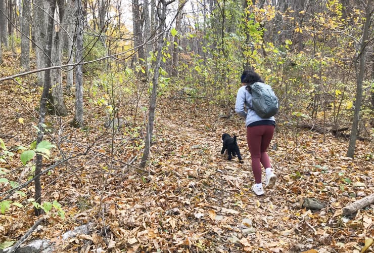
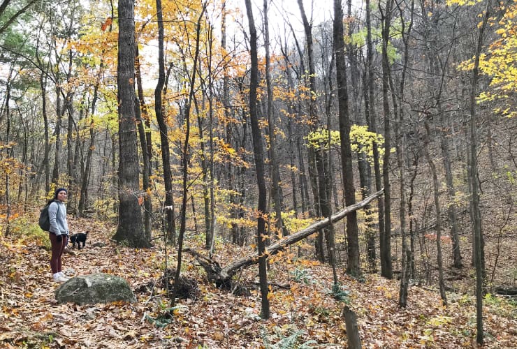
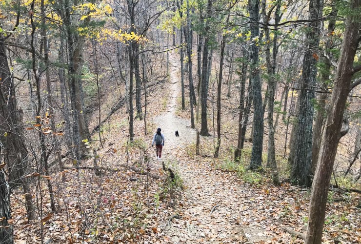
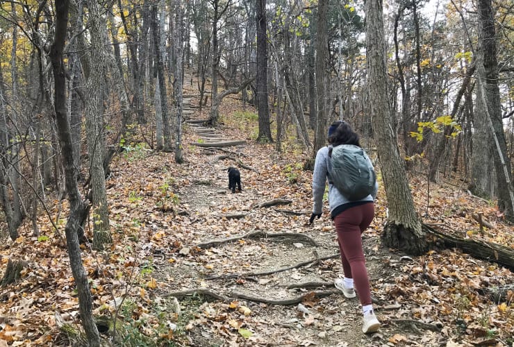
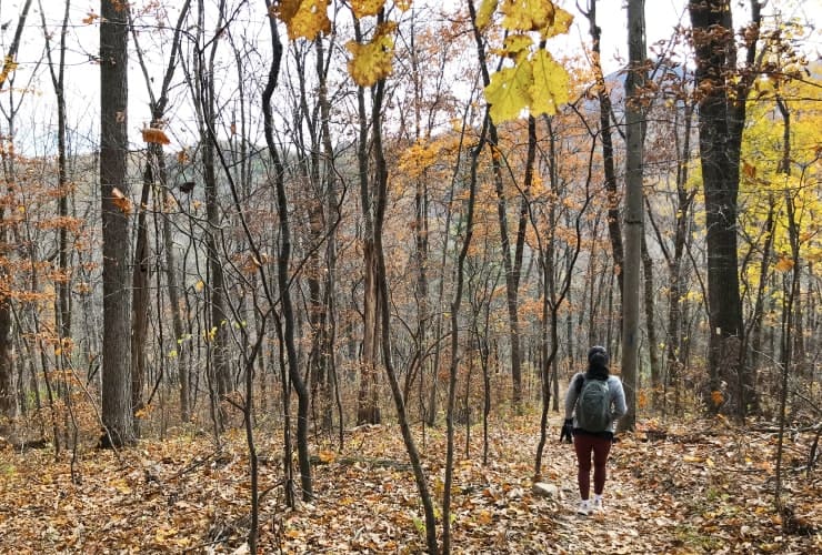
On the other side of the 2nd Catawba Bridge is where hiking Tinker Cliffs really begins. You start with a semi-steep climb through the forest. Along the way, on your right, you will see an ever-deepening valley that is beautiful though difficult to capture with pictures or video. About a mile in is where you’ll start to be challenged. There are “steps” but they are rather wide apart and this section is quite steep. Just when you think you are done it begins to climb yet again. Take your time during this stretch and stay hydrated.
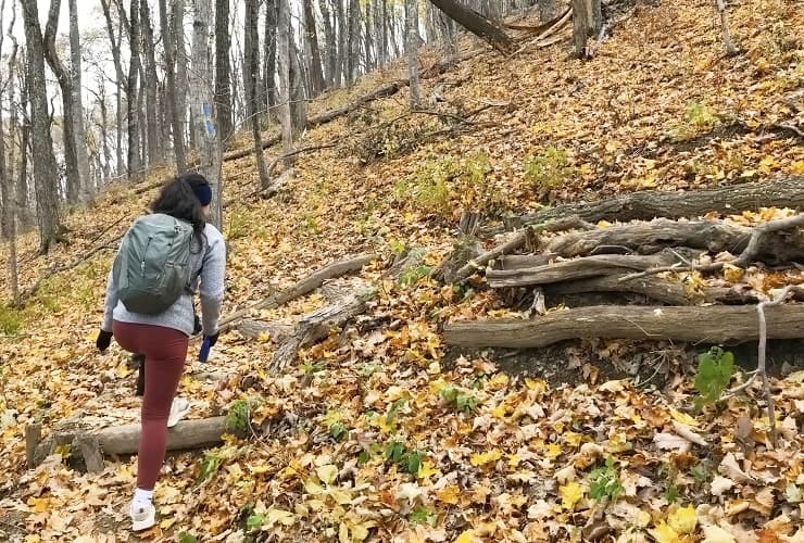
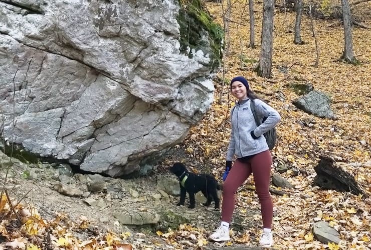
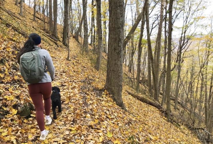
In all you’ll gain about 900’ (274m) in about a half-mile (.8m) stretch. While the hike may be a bit grueling the scenery is magnificent. In areas there are valleys running on either side of you. Some slopes are gentle while others force you to pay attention to staying on the path. There was one lone large rock that served as a perfect excuse for a break before heading up yet another steep section. If you are hiking anytime between the fall and the spring you’ll start to have some nice views through the tree limbs on your right. Of note, you might see (or even hear) a large cement factory in the distance. They are the property owners of much of the trails land.
Scorched Earth Gap
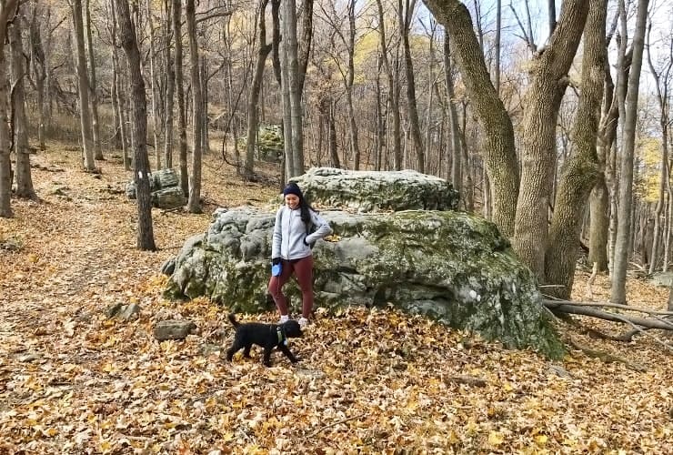
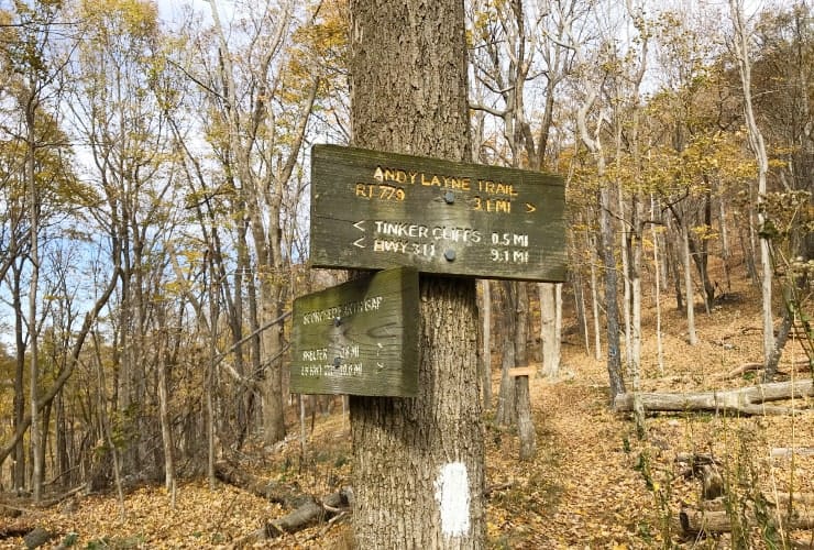
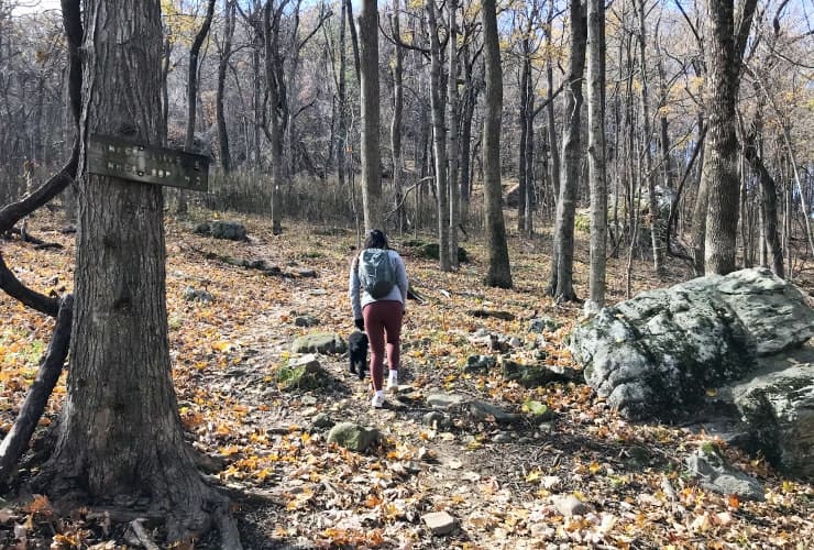
At about the 3-mile mark (4.83km) you’ll reach a flat area marked by a great rock formation, wood signs and a switch to the White trail. At this point you are 0.5 miles (0.8km) from the top but be prepared as this is arguably the toughest stretch of the hike. It is almost all uphill with little break so occupy yourself by soaking in the trees, some great rock formations and the wonderful fresh air. The time will go by faster . . . though your thighs may disagree.
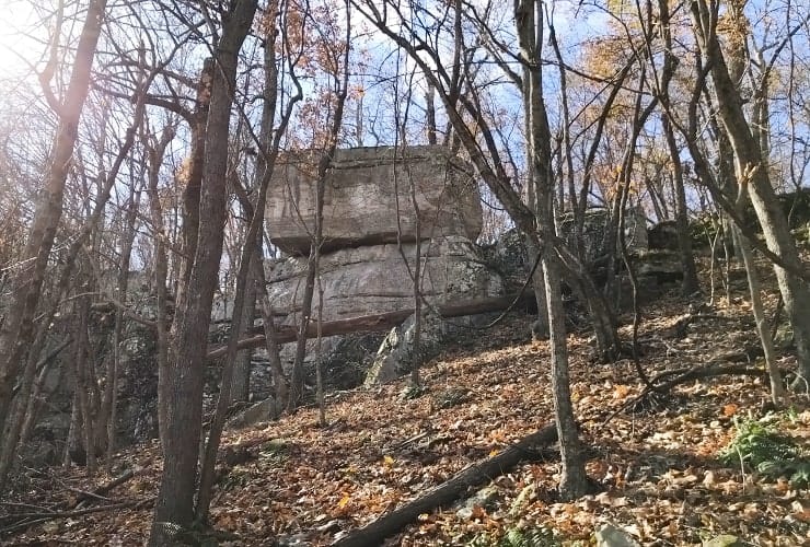
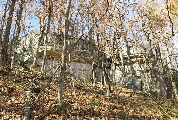
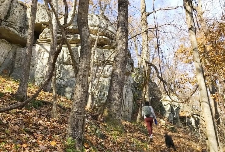
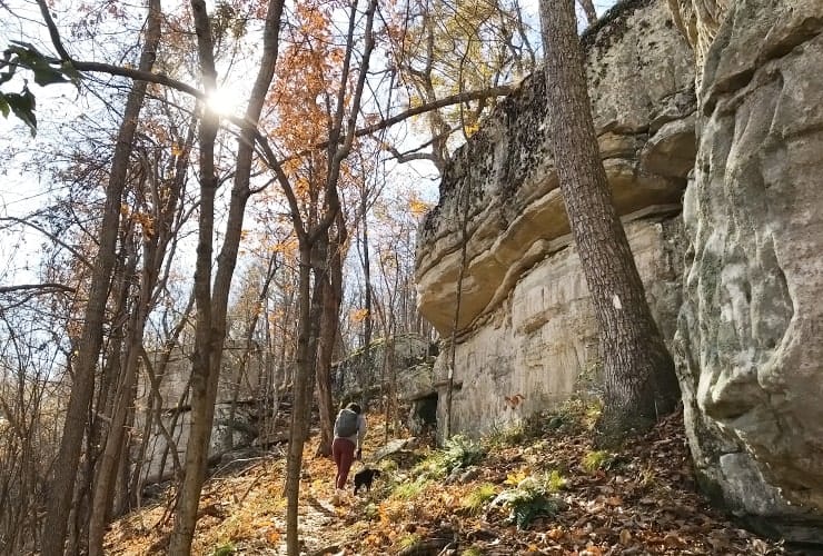
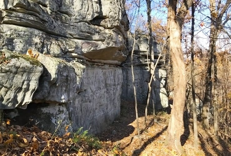
Eventually you will begin to see rock faces straight ahead and to your left. They are magnificent and varied. One in particular is reminiscent of Chimney Rock as it shoots straight up seemingly forever. You’ll navigate between several different formations as you continue to climb. Make sure you stop every so often and turn around to survey the scene below. You’ll see it again on your way back down but it’s nice to see what you have just traversed (and give yourself a pat on the back for your effort).
The Views
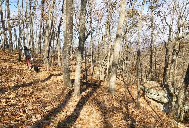
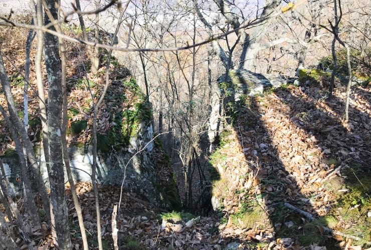
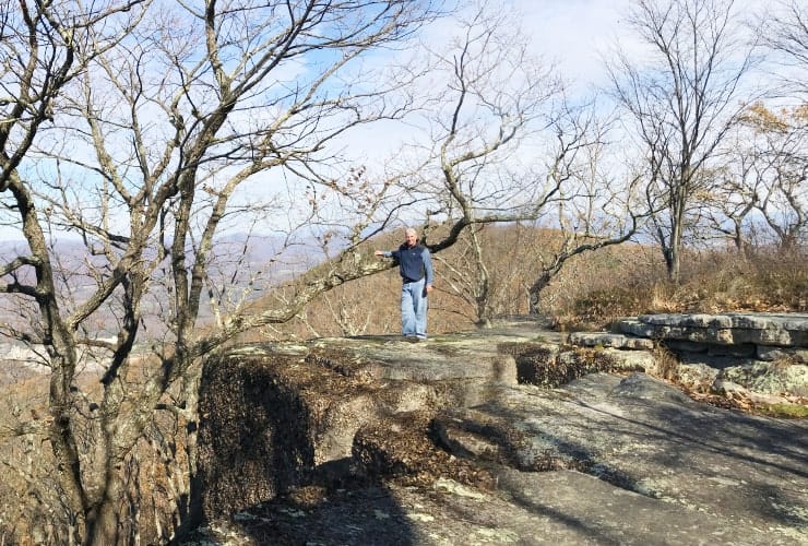
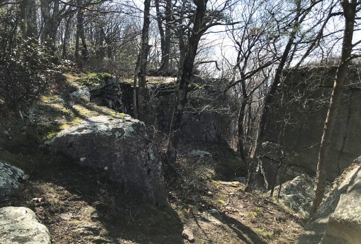
Unlike Dragons Tooth and McAfee Knob, the lookouts for Tinker Cliffs aren’t all in a single location. As you reach the top you’ll begin to notice different rock groupings to your right. Some are just really cool while others are ideal for viewing the valley below. The shear variety of rocks you encounter are stunning. Some are massive with shear drops along the edges of hundreds of feet while others are more spread out. There is one grouping in particular that combines multiple flat top rocks where you can hop from rock to rock while seeing the cement factory in the distance.
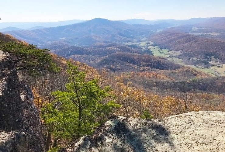
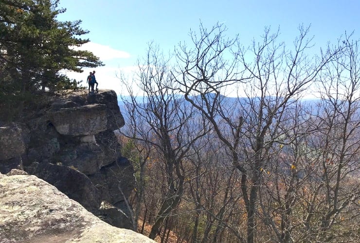
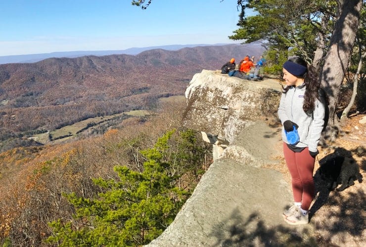
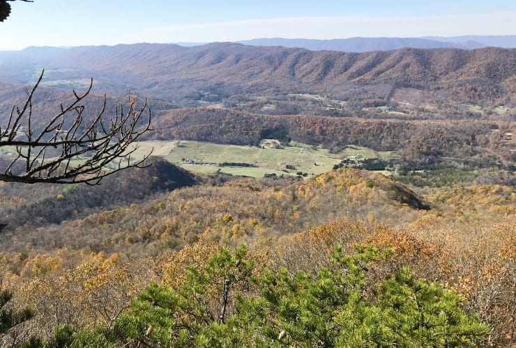
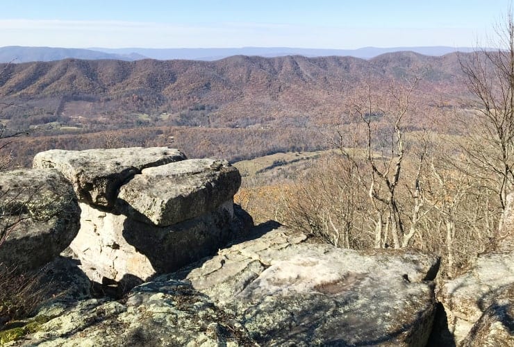
Eventually you will arrive at the payoff points. There are a series of great lookout points to choose from. They all have a similar view but afford either some privacy from other hikers or even views of other overhanging rocks. We choose to go along the path to the farthest overlook then work our way back. Each different formation was unique and special in its own right. Obviously this is a great time to find that perfect spot for you, have a bite to eat and enjoy the magnificent views.
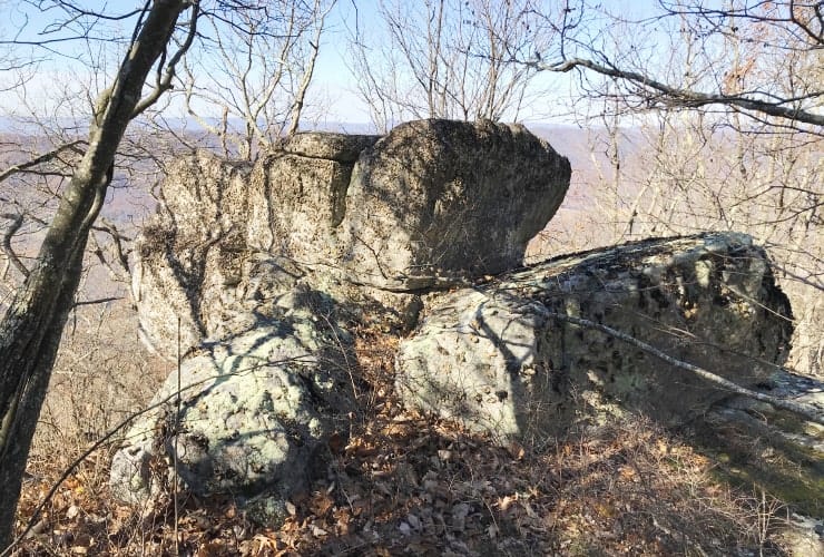
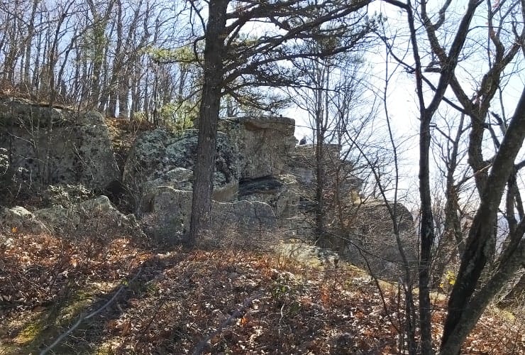
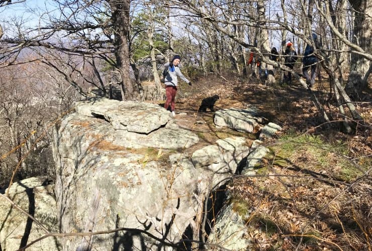
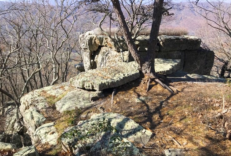
From the various different vantage points you’ll be able to see the northwest of Broad Run Mountain and to the northeast of Fincastle. The vista spread out in front of you is the Catawba Valley and you even can see both of the other “sisters”, Dragons Tooth and McAfee Knob.
The Way Back
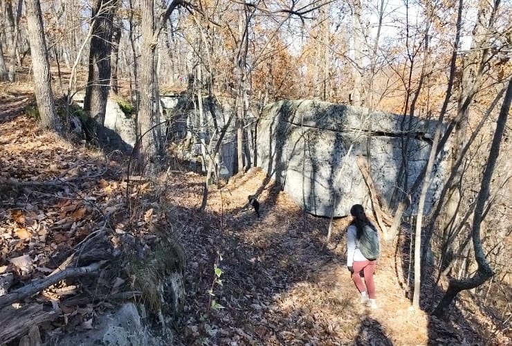
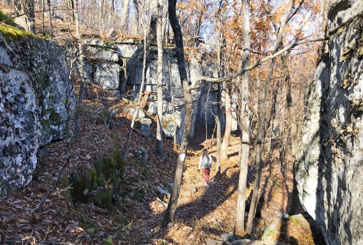
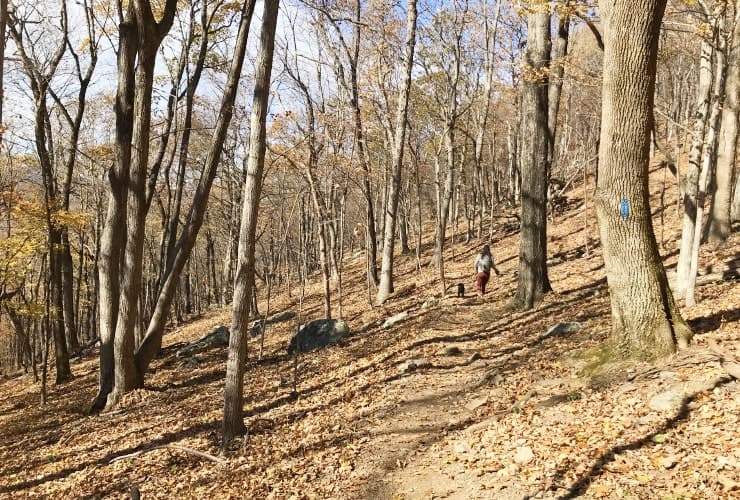
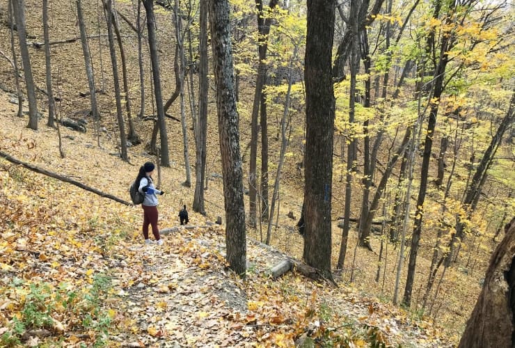
While we prefer loop hikes, where every step offers something never seen before, there is something to be said for seeing things from different perspectives. This very much applies to the Tinker Cliffs Trail. The walk down, especially as it is later in the day so the sun changes the look of forests from earlier in the day, was even more beautiful. This really stood out when walking down the steep declines. The valleys appear to be even farther down and change in shadows make the familiar seem unique.
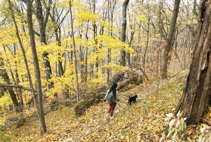
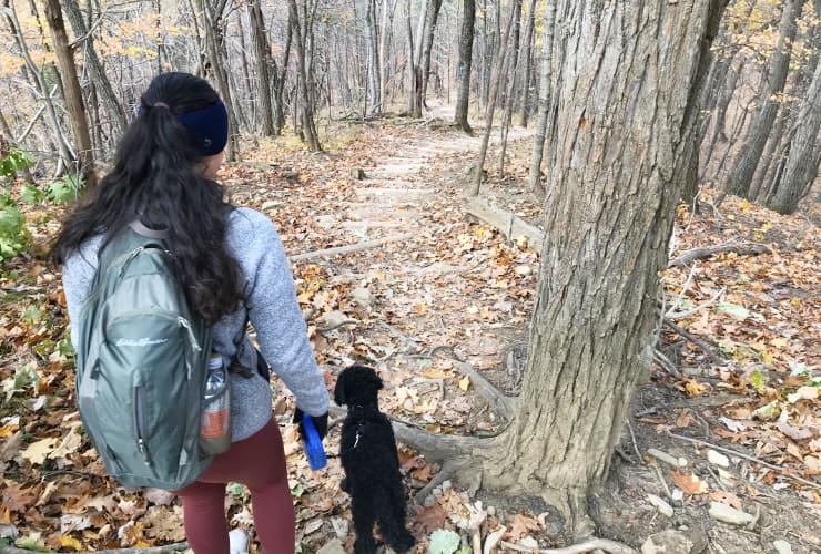
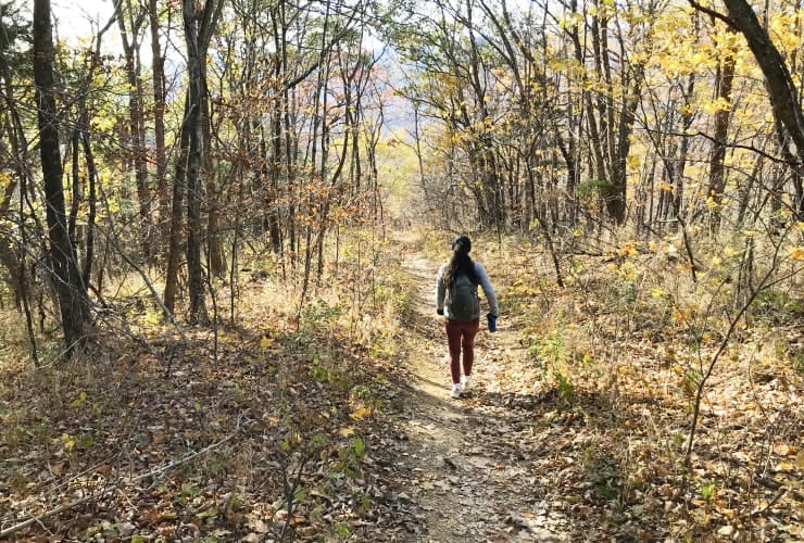
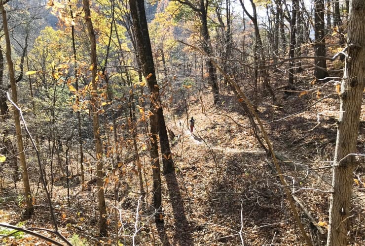
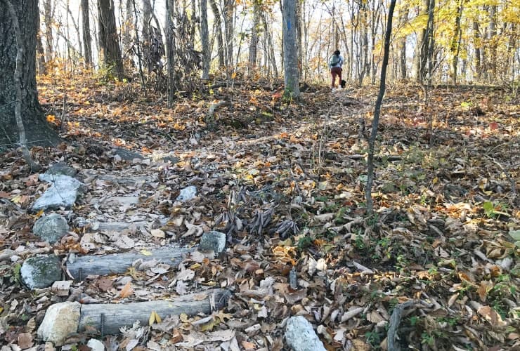
As with so many journeys, the way back seems to go faster than the way up. Perhaps it’s the familiarity or the expectation of getting home. Regardless, the constant inclines and declines combined with the switchbacks supply an endless stream of distractions as you wind your way along the ridgelines and narrow trails. Eventually you make your way back to the (2) bridges and that final ascent you dreaded hours ago when your hike first began. It definitely is a thigh burner but you know the parking lot is just over the rise . . . eventually.
Final Thoughts
Each of the (3) sisters offers a different experience. While Dragons Tooth requires more physical dexterity and McAfee Knob more stamina, hiking Tinker Cliffs offers a more varied hike highlighted by alternating easy and tough stretches. It will test and reward you equally along the way.
Please let us know if you’ve had a chance to hike any of Virginia’s Three Sisters for yourself and what you thought. We’d love to hear from you!

