BRYCE CANYON FAST FACTS
LOCATION: Bryce, Utah
HOURS: Open all year round
COST: $35 per vehicle (15 passenger limit), $20 per person (bike, hiker, walker, etc.), 15 & under FREE
TIME TO COMPLETE: 3-5 hours
ACCOMODATIONS: Large parking lot, restrooms and Visitor Center.
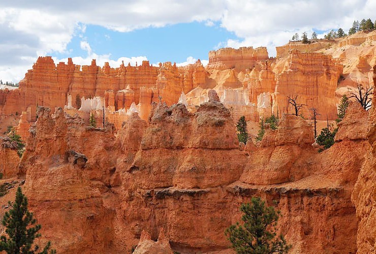
There are certain things in life that have to be seen in person to be truly appreciated . . . Bryce Canyon is one of them. Signs of human life date as far back as 8,000 BC and today Bryce Canyon is visited by well over 2,000,000 tourists every year. The park covers an area of 56 square miles (145 sq km) with its highest point at 9,105′ (2,775 m) and lowest at 6.620′ (2,020 m). The irony is Bryce is not even a canyon but instead a collection of giant natural amphitheaters shaped over the years by frost-wedging and rain into red, orange and white slot canyons, windows, fins, and spires called “hoodoos.”

The hoodoos climb as high as 200′ (60 m) amid pockets of spruce, fir, pine and juniper forests. The park features more than 1,000 types of insects, 400 native plants, 175 different species of birds, 45 species of butterflies and moths as well as 11 types of reptiles and 4 species of amphibians. There is no bad time of year or time of day to visit Bryce. There are designated points along the rim of the main amphitheater specifically for watching the stunning sunrises and sunsets. Stargazing at Bryce is particularly ideal given the remote location far from manmade lights and pollution sources. You can walk the park on foot along any of the (8) hiking trails or drive along (or take the shuttle) the scenic drive and stop at any, or all, of the (13) designated viewpoints.
Jump to a specific section.
Places to See
Visitor Center
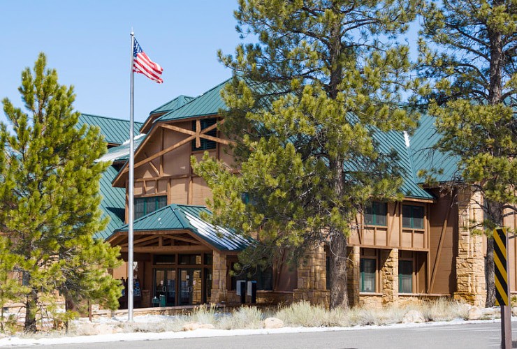
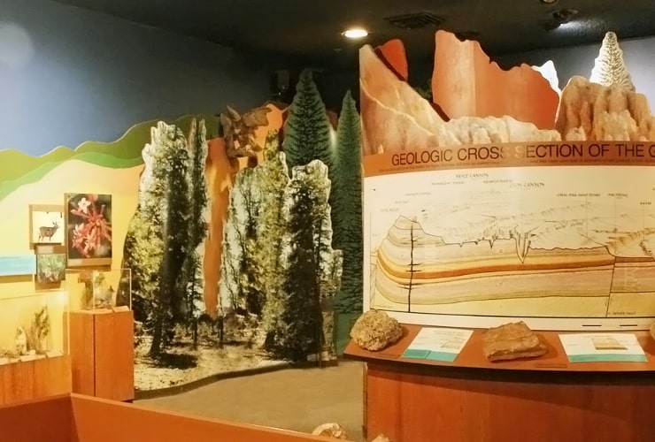
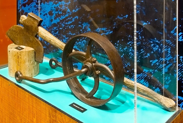
The Bryce Canyon Visitor Center is a good place to start your journey. They can help you plan your day with maps and advice as well as weather conditions, a schedule of Ranger-sponsored events and local attractions like dining or lodging. While you’re there be sure to check out the museum, the 20-minute award winning short film “Shadows of Time”, and a pretty extensive gift shop.
Sunrise Point
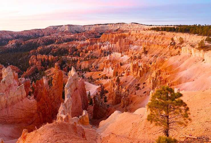
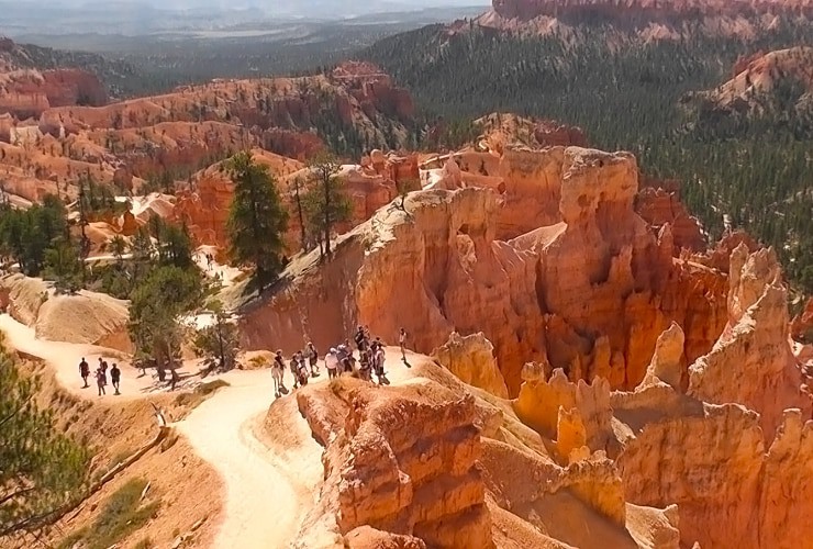
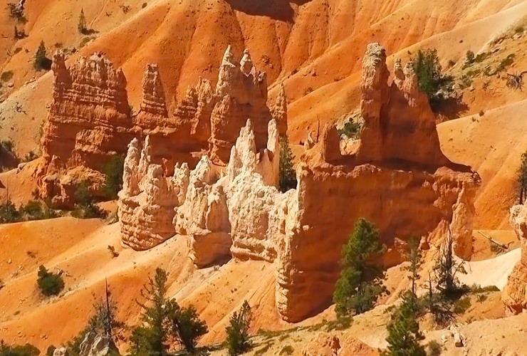
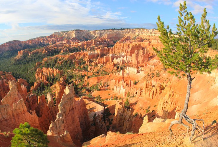
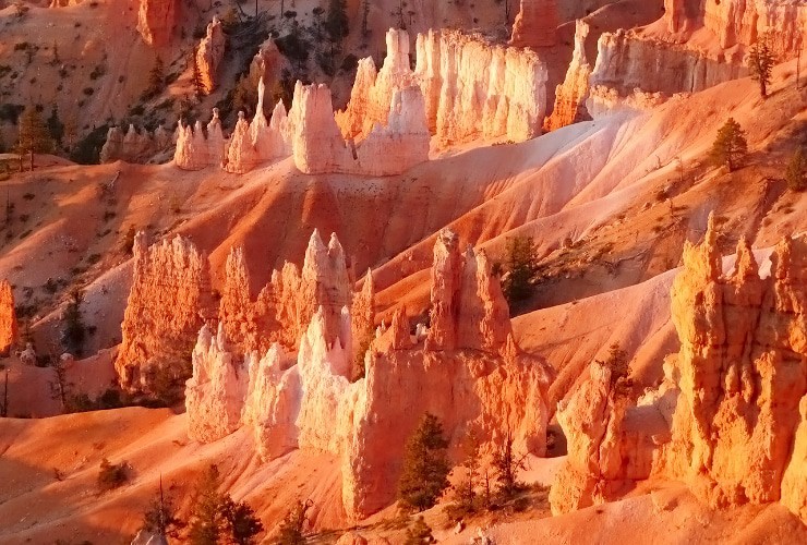
Though sunrise generally occurs before the park opens you should make Sunrise Point your first stop. It is located a short walk southeast from the Visitor’s Center along the rim of the Bryce Amphitheater. Looking to the northeast you’ll see Boat Mesa and the Sinking Ship with the Pink Cliffs serving as a backdrop in the Fairyland Canyon. The Sunrise Point is the trailhead for the Queen’s Garden Trail and is marked by the amazing Limber Pine whose exposed roots serve as a reminder of the constant erosion experienced by the park.
Inspiration Point
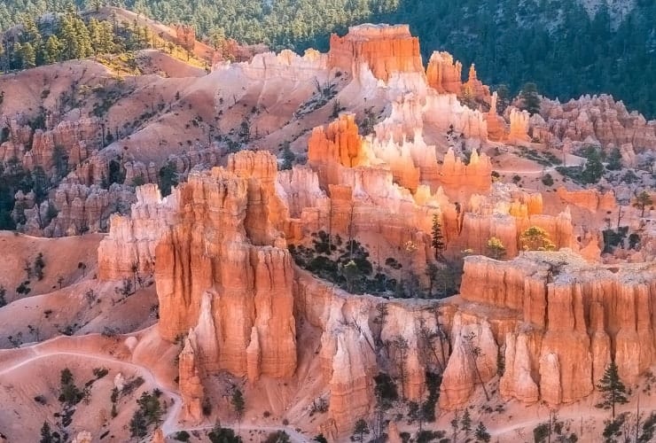
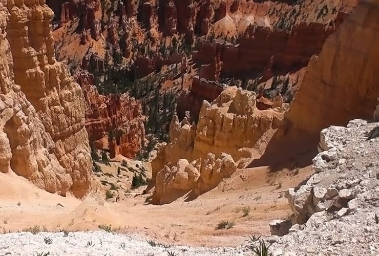
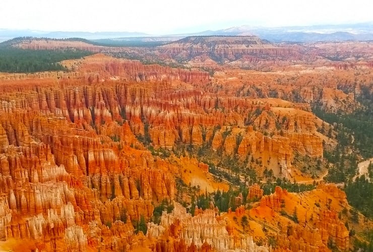
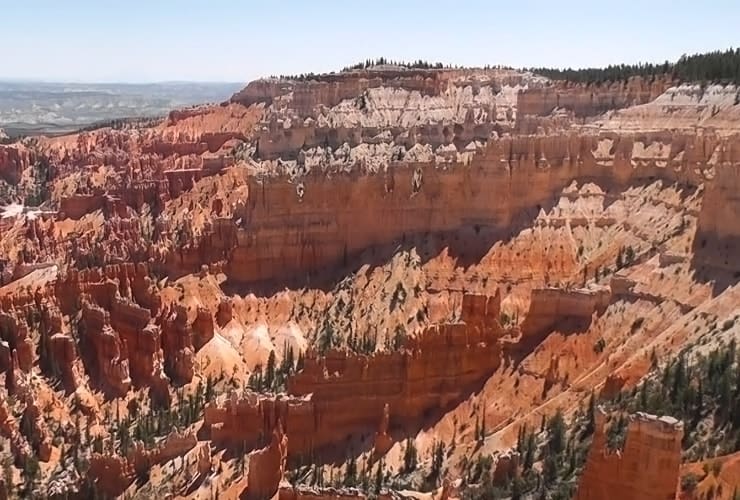
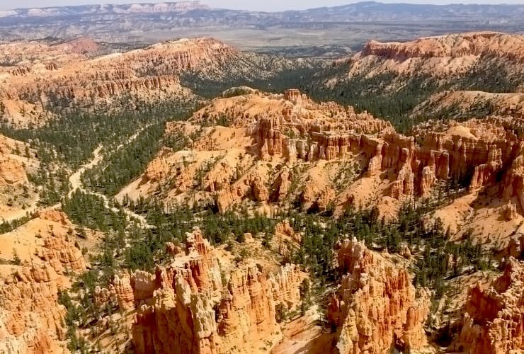
Inspiration Point is unique in that you can view different levels of the main amphitheater from the Lower, Mid and Upper locations. The trail is just over ½ mile (0.80 km) with an elevation of 134′ (41 m). Along this trail you’ll experience an amazing phenomenon . . . at each bend you’ll have an entirely unique experience. There is so much variety in the rocks, the colors and the shadows that every few minutes you won’t recognize where you just were. You’ll see lower Pink Member (“dirty” limestone), Upper White Member (freshwater limestone) along with a mix of old and (relatively) new Bristlecone Pines.
Bryce Point
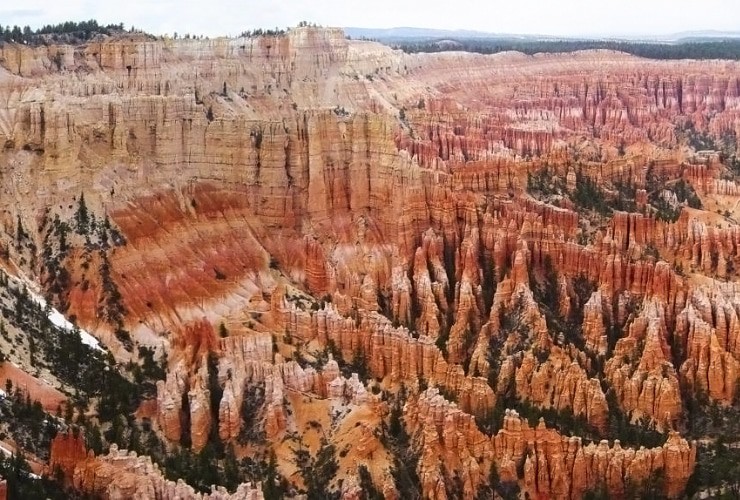
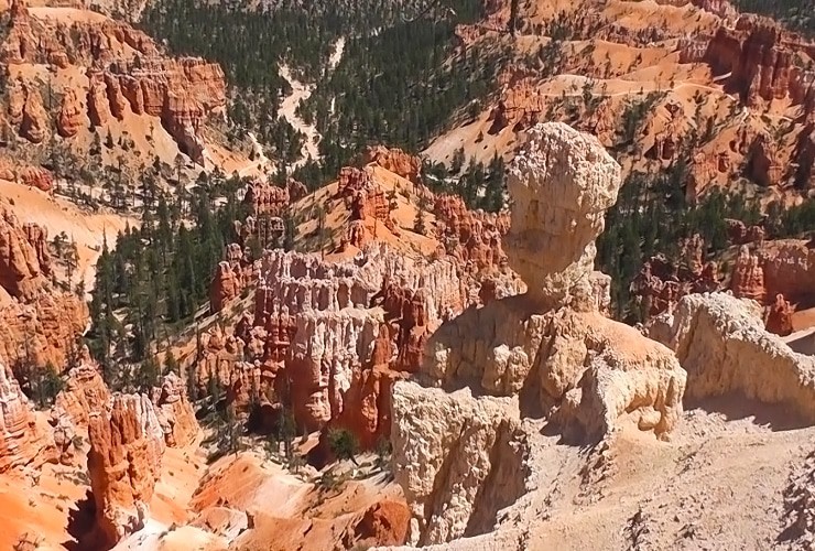
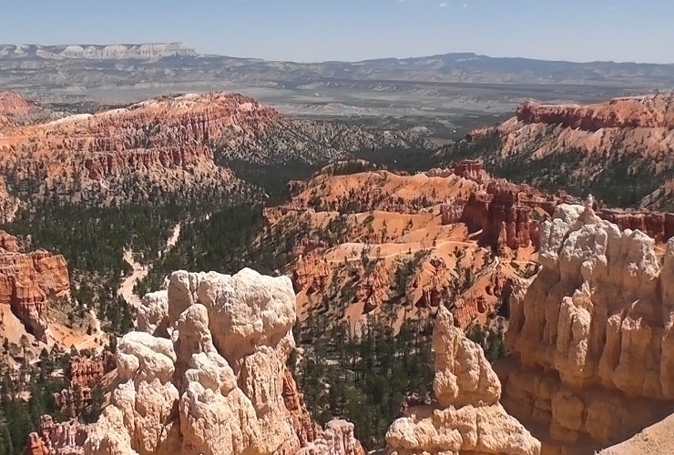
Bryce Point is the southernmost vantage point along the Rim Trail that encircles the main Amphitheater. From here you get a completely unobstructed view of the entire amphitheater and even some of the walking trails. Be prepared to lose your breath a bit from not only the view but also from the climb to the lookout. It’s not just the incline but also the elevation so feel free to take breaks and stay hydrated. From Bryce Point you can travel by car or shuttle towards the south end of the park starting with . . .
Natural Bridge
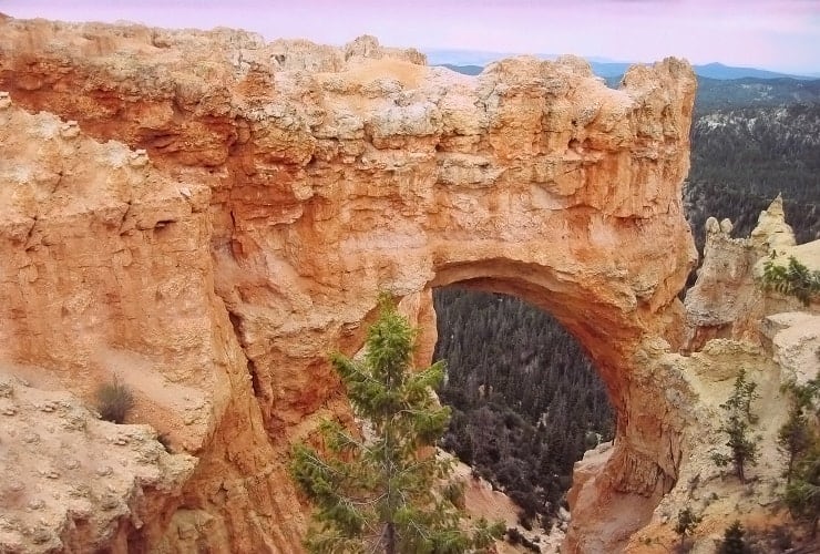
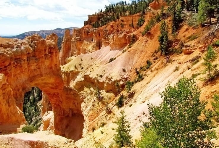
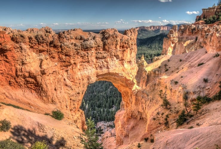
At first glance the Natural Bridge will remind many of the Delicate Arch or the Rainbow Arch (both also in Utah) but it is more of a halfway built bridge than an arch. Standing at an elevation of over 8,000′ (2,438 m) the red stone bridge provides a beautiful contrast to the green Ponderosa Forest that lays in the basin in the distance. The 85′ (25.9 m) tall formation is the gradual result of the combination of frost wedging, chemical weathering, and gravity over millions of years. Though the most famous, the Natural Bridge is only one of many arches in the park, many of which can be seen on several walking trails.
Rainbow Point
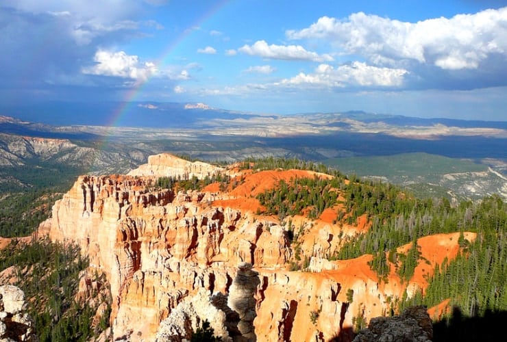
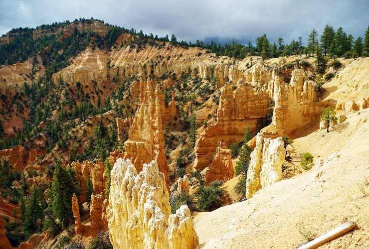
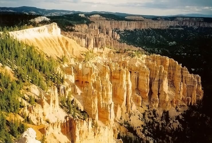
The last, and highest, point accessible by vehicle is Rainbow Point. The views to the east and north include the Ponderosa Canyon, the Escalante National Monument and the Dixie National Forest. The elevation reaches just over 9,000′ (2,778 m) allowing you visibility of most of the geological Grand Staircase rock layers, from the uppermost Pink Cliffs to the red Vermilion Cliffs. The National Park Service offers a free guided bus tour to Rainbow Point and many of the other stops along the southern rim of the park.
Yovimpa Point
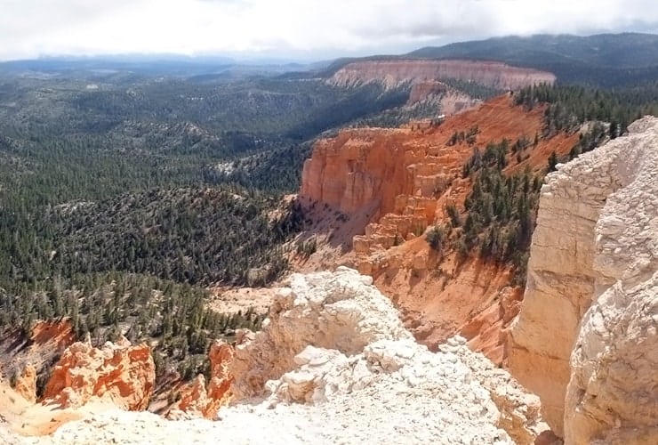
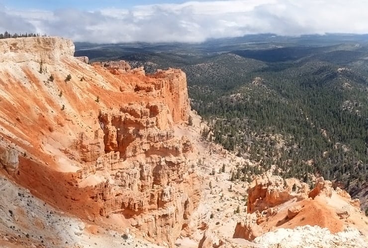
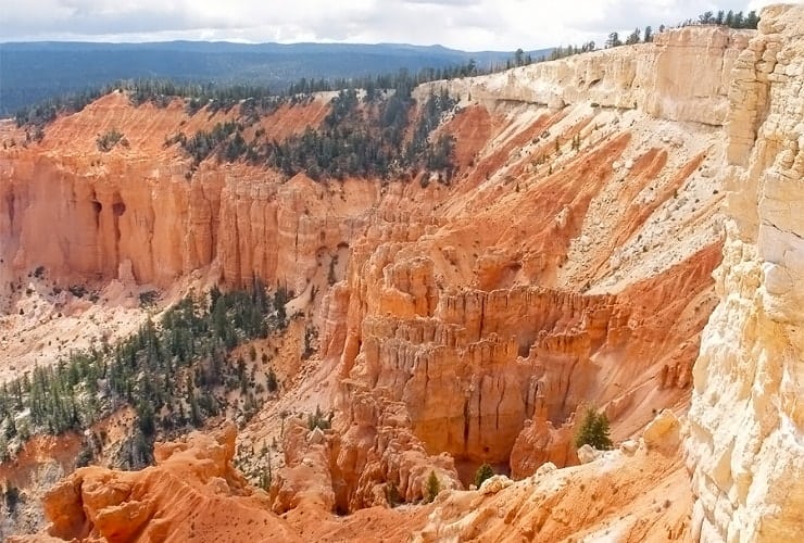
From the Rainbow Point parking lot you can take a short walk on a paved trial to the Yovimpa Point. This is the southernmost point of the park and features the Grand Staircase. You can see the layers pretty clearly starting with the top Pink Cliffs, followed by the Grey Cliffs and the White Cliffs ending with the red Vermillion Cliffs. If it’s a clear day you can see all the way to the Grand Canyon! From Yovimpa Point you can take the Bristlecone Loop Trail, and pass by pine trees dating back 1,800 years, back to the parking lot.
Sunset Point
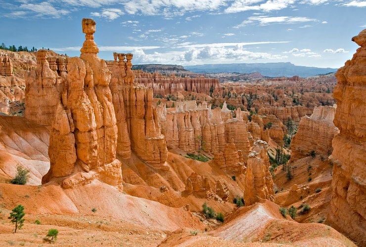
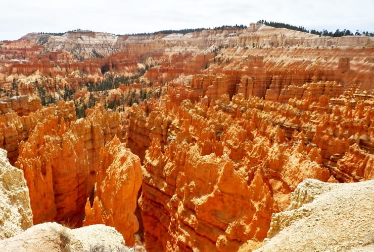
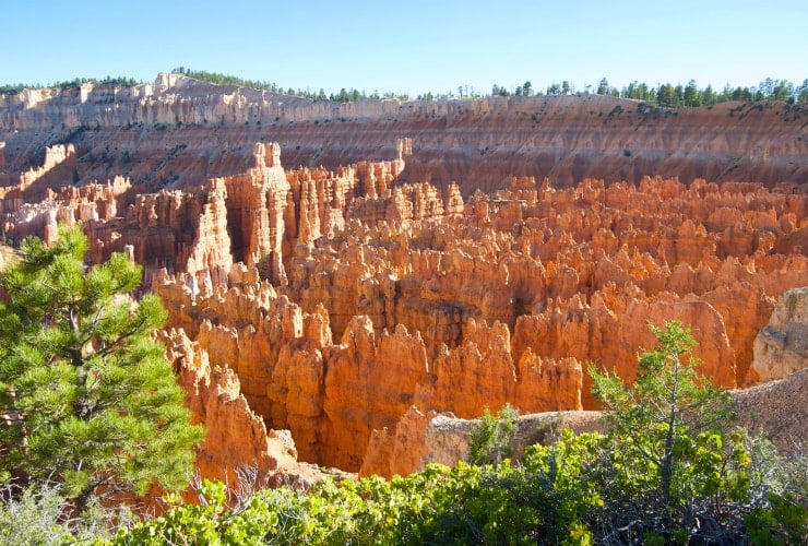
Towards the end of the day you can head back to the main amphitheater to watch the sunset from . . . Sunset Point. But in truth you can visit Sunset Point any time of day and not be disappointed. The so-called Silent City of hoodoos and fins rise up from the canyon’s floor. On the northern edge is what many consider the gem of the park . . . Thor’s Hammer, a distinctive formation that towers 150′ (46 m) straight up apart from the surrounding fins and hoodoos.
Scenic Drive
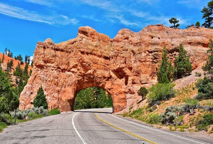
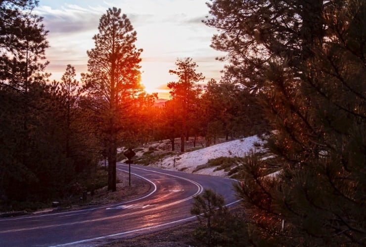
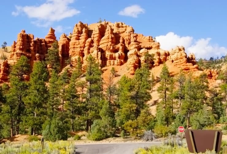
If you aren’t into walking all day you can mix up your itinerary by driving, or taking the free shuttle along the 38-mile (61 km) round-trip scenic drive that starts at the park’s entrance and stretches southward to Rainbow Point. There are 13 designated viewpoints along the way and you can proceed at your own pace.
Walking Trails
If you are active or are wanting to see different perspectives of Bryce there are plenty of trails to choose from. Some are easy and others more strenuous but we would recommend at least one trail that takes you down into the base of the plateau to give you a wider perspective of Bryce Canyon. Many of the trails are interconnected so even if you start off on one trail you could always choose to venture in a different direction along the way.
The Rim Trail

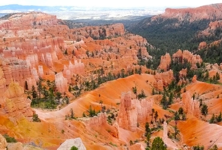
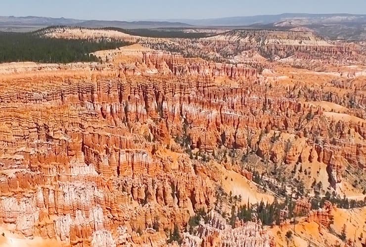
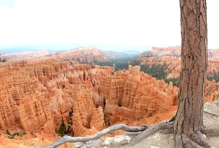
The Rim Trail is the most popular due to its proximity and accessibility to the main amphitheater. Stretching from Fairyland Point to the north around to Bryce Point in the south, the trail provides a 180° vantage point of the amphitheater. The total distance covered is 5.5 miles (9.16 km) from end-to-end with several steep inclines with 520′ (158 m) change in elevation from north to south. If you have limited time we would suggest staying in just this part of the park.
Queen’s Garden Trail

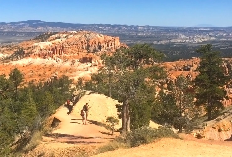
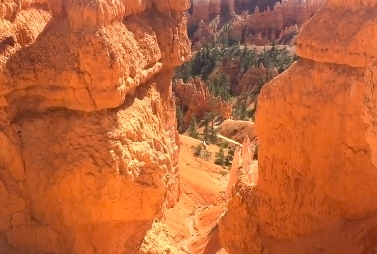
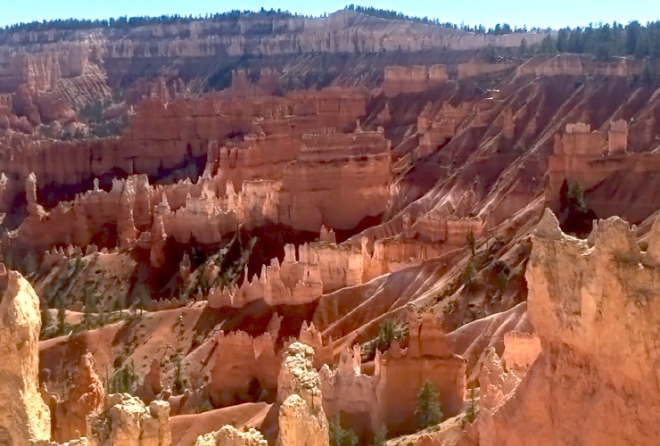
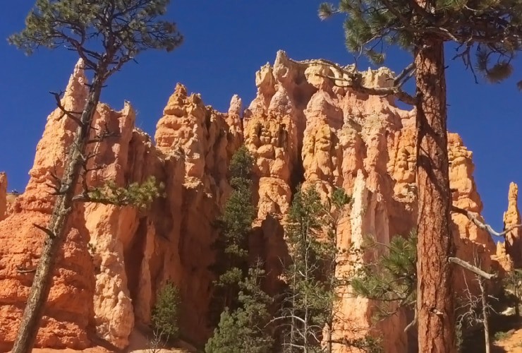
If you want to descend into the canyon with the least amount of physical exertion then the Queen’s Garden Trail is your best choice. You’ll only be going down 320′ (98 m) and walking less than 2 miles (2.9 km). The loop begins at Sunrise Point and combines neatly with Navajo Loop and intersects about halfway through Peekaboo Loop. This trail treats you to a great variety of hoodoos, a wooded basin and a narrow ring of colorful pinnacles.
Peekaboo Loop Trail

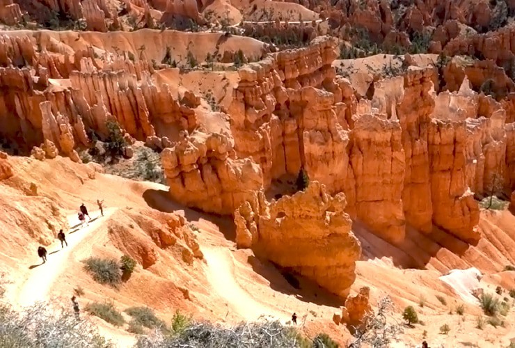
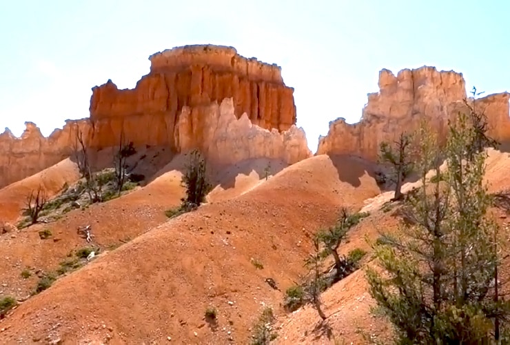
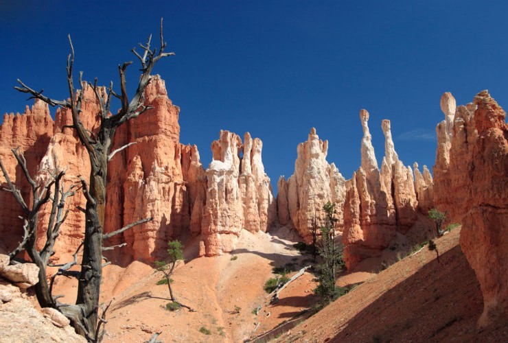
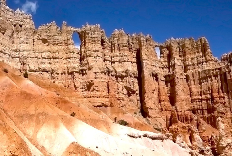
The Peekaboo Loop Trail begins at Bryce Point and quickly descends down into the canyon floor some 900′ (274 m). The 5.2 mile (8.4 km) loop also overlaps with some horse trails so keep an eye out for large gifts on the ground. This hike is considered moderate-to-strenuous due primarily to the sometimes extreme shifts in elevation and length. Locals recommend this trail in the late spring/early fall due to a decrease in traffic, which coincides with an increase in wildlife sightings, plus the river is far more active.
Navajo Loop Trail

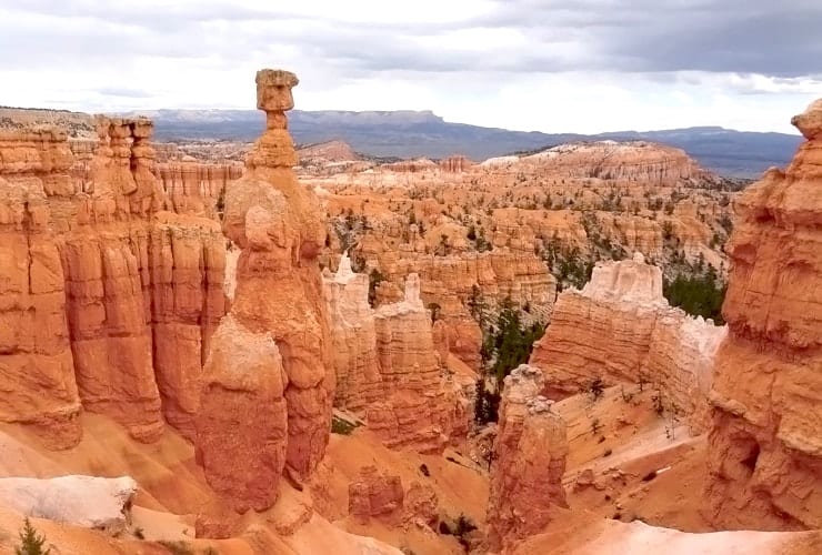
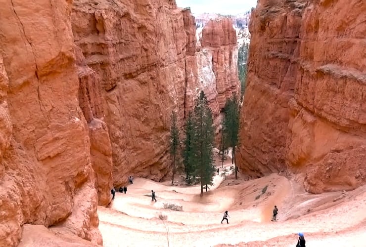
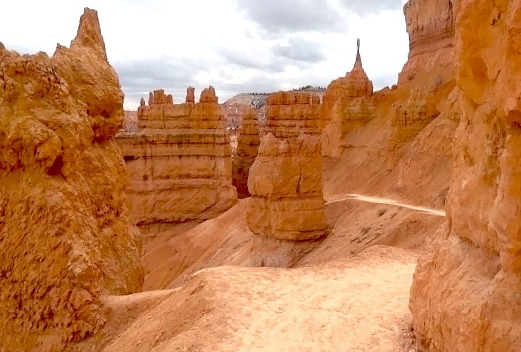
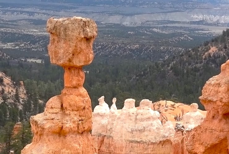
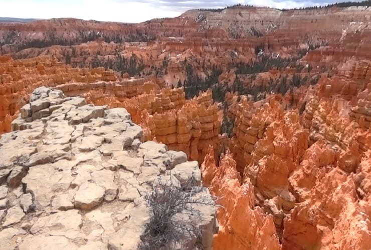
Considered the trail that provides the best perspective of the amphitheater, the Navajo Loop Trail is a strenuous 2.2 mile (3.54 km) loop with multiple changes in elevation. This 1-2 hour loop begins from Sunset Point and quickly descends then splits into (3) separate options. You can go to the left (east) or right (west). To the right you can choose the upper trail for a cool western view of the canyon or the more eventful upper trail where you’ll find the highlights of the hike, Wall Street, Twin Bridges and Thor’s Hammer. Along the path keep an eye out for two huge Douglas firs thought to be more than 750 years old.
Fairyland Loop Trail

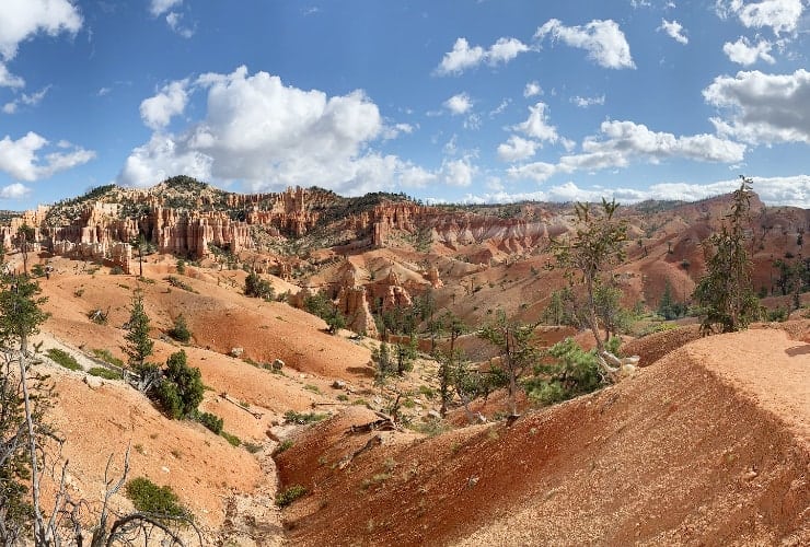
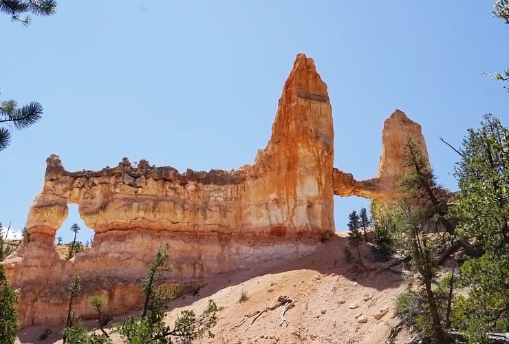
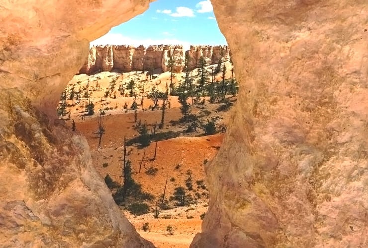
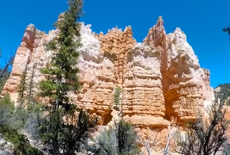
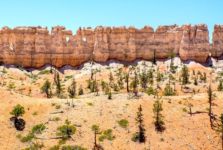
Fairyland is the toughest of the hiking trails. It’s long (7.8 miles/12.55 km) and has an elevation change of 1,545′ (471 m). It also features some of the best variety the canyon has to offer. Starting at Fairyland Point you’ll first encounter the enormous Boat Mesa which eventually gives way to the impressive Tower Bridge. From there, just south of Campbell Canyon, you’ll encounter the appropriately named China Wall. Finally you’ll begin the ascent back up either back to Fairyland Point or you could choose west to end up at the Bryce Canyon Lodge and General Store.
Other Things To Do
Horseback Riding
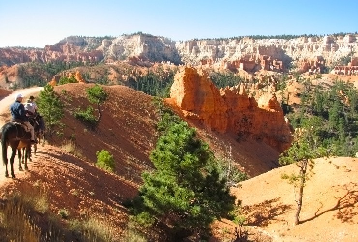
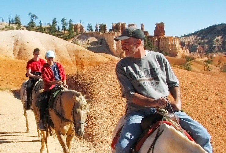
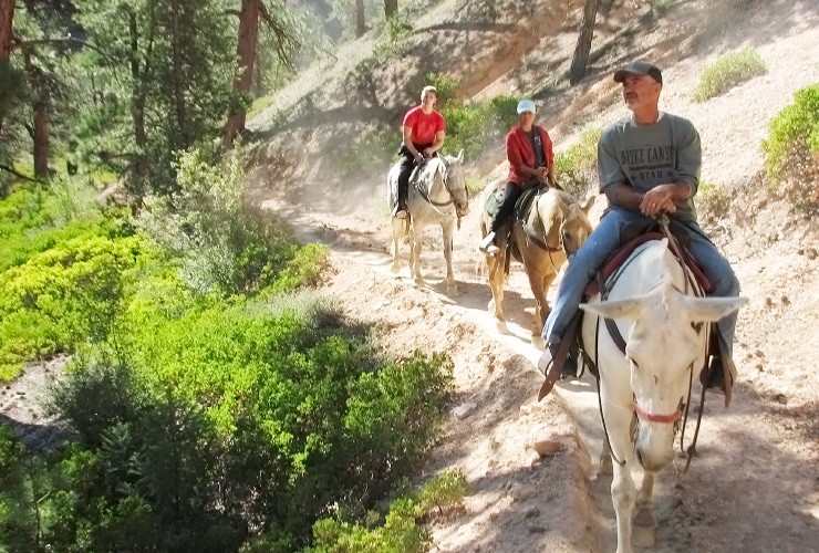
As magnificent as Bryce Canyon is, experiencing on horseback is even more thrilling. Whether you get a horse or a mule (mules are better) you get the luxury of looking all around you while not having to worry about your footing. Granted, there are some cliff edges that will have you leaning in the opposite direction (and maybe saying a prayer or two) but once you accept your ride knows best you can relax and enjoy yourself. You have an option of a 2 or 3 hour tour. The latter is worth the extra cost as it’ll take you deeper into the canyon and provide excellent views of Wall of Windows, Silent City, Bristle Cone Pine Trees and The Chessmen.
Camping
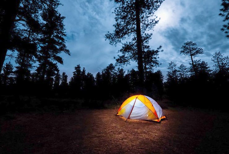
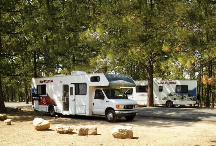
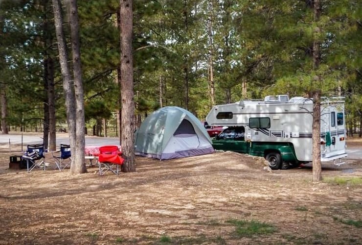
Bryce Canyon National Park has (2) campgrounds, both west of the amphitheater. The Sunset Campground is located across the Scenic Drive from Sunset Point about 1½ miles (2.4 km) from the Bryce Canyon Visitor Center. There are 100 sites within (3) loops, one for RV’s and the other two for tent campers but is closed in the winter. The North campground has 99 sites within (4) loops, two for RV’s and two for tents campers. It is close to the Visitor Center, General Store, and Fairyland Loop/Rim Trail.
Mountain Biking
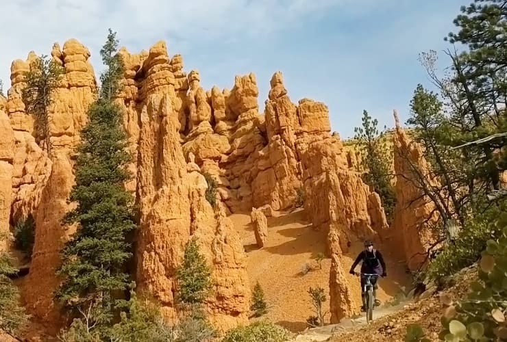
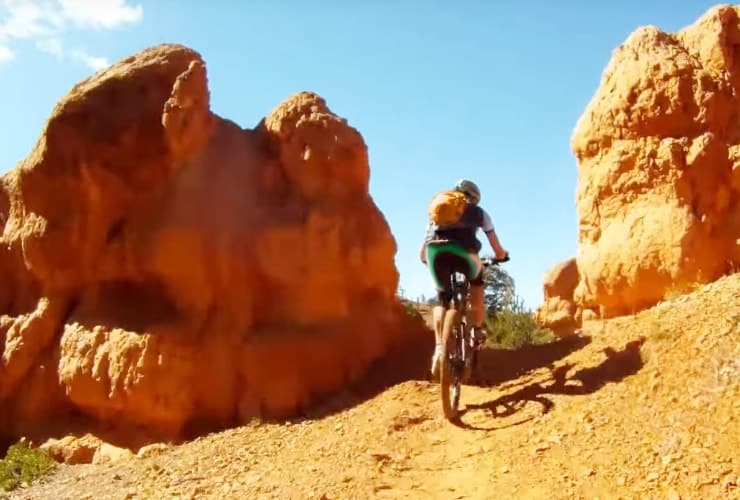
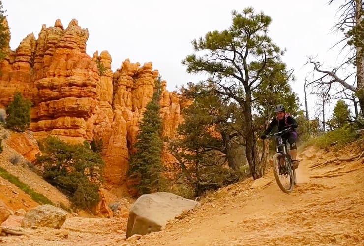
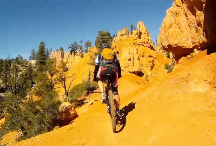
While the only biking allowed in the park is on the paved roads, there are nearby trails that feature spectacular scenery combined with challenging courses. The most popular is Thunder Mountain with options to ride one-way for 7.8 miles (12.6 km) through hoodoos, a steep ridge and a narrow hogs back then take a shuttle back to the start or riding back on the road yourself. Other options include Casto Canyon and Skunk & Badger for more intermediate runs or, for an easier double-track, there is Dave’s Hollow which starts at the entrance of Bryce Canyon National Park.

Bryce Canyon is just an 80 minute drive northeast of Zion National Park and is just 2 hours southwest of Capitol Reef National Park. There are so many natural wonders and outdoor activities in Utah from hiking and canyoneering to rock climbing and mountain biking . . . something for everyone.
What is your favorite natural wonder? We’d love to hear about your experiences.


Whoa, this is a tremendous and extremely detailed article about Bryce Canyon! I hope to get out there this fall, so I bookmarked it for the trip!
Wonderful to hear. It is far more spectacular in person. Enjoy and please let us know how you enjoyed Bryce!
Stunning – and your photos do a great job of capturing the beauty. Haven’t been to Bryce in years but love it still. I appreciate the way your post is laid out – especially the “Jump to” section at the top. Very handy. I’ll definitely refer to this post next time I get to Bryce.
Thank you. We do appreciate the feedback.
P.S. Bryce is amazing!
Bryce Canyon looks amazing. Your pictures are fabulous. I have to get to Bryce Canyon one day.
You really do have to see it in person to truly appreciate how unique it is. If you do get there some day please let us know how you enjoyed the experience.
We are hoping to camp here this summer and this is great information for us. Thank you for all the beautiful pictures and information that will be so beneficial. Now I really can’t wait to make that trip!
Very excited for you. You won’t be disappointed!