LINVILLE FALLS FAST FACTS
LOCATION: Blue Ridge Mountains in Burke County, North Carolina
HOURS: Open daily 10:00 AM-5:00 PM from April 30 – Oct 31 (closed in winter months)
COST: Free
TIME TO COMPLETE: 3-4 hours
ACCOMODATIONS: Large parking lot, public restrooms and gift shop
Linville Falls is known the world over for good reason. The 350,000 annual visitors have the unique experience of viewing the falls from (5) distinct vantage points that overlook the 12 mile (19.3 km) long Linville Gorge, also known as the “Grand Canyon of the Southern Appalachians”, and the Linville River. The Linville Falls themselves have three different sections, totaling a 90’ (27.4 m) drop from top to bottom, each of which can be seen from the various vantage points but not from any single one. They have cleverly taken advantage of the surrounding cliffs to provide unique perspectives and experiences suitable for visitors of all ages.

There are two trails that each start at the Visitor’s Center, Erwins View Trail and Linville Gorge Trail, that take you on both sides of the falls with lookouts affording different viewpoints. The hikes are rated Moderate and suitable for the entire family. We saw kids as young as two as well as couples in their 80’s. Linville Falls, as well as the surrounding 1,100-acre (4.5 km2) gorge, was donated to the National Park Service by John D. Rockefeller, Jr. in 1952. We stayed in Newland, North Carolina for 1½ days which allowed us to spend a full day experiencing Linville Falls and also a morning at nearby Linville Caverns. There is only one hotel and restaurant to choose from which, lucky for us, were both excellent.
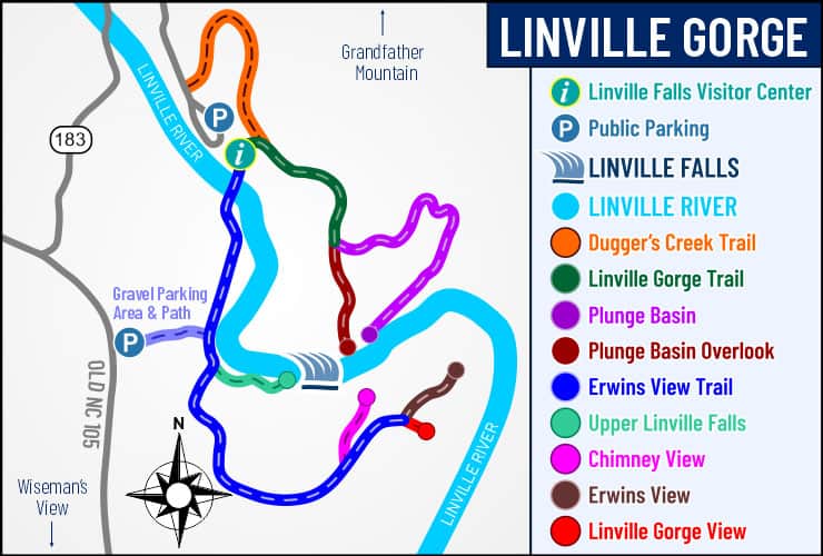
Linville Falls Visitor Center
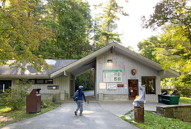
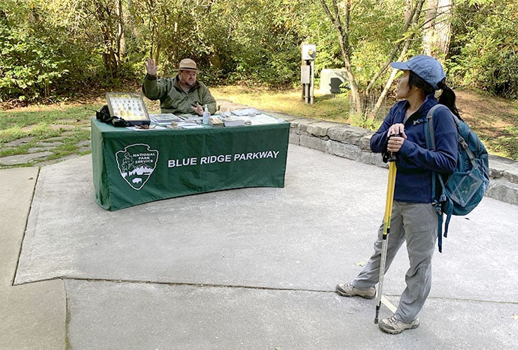
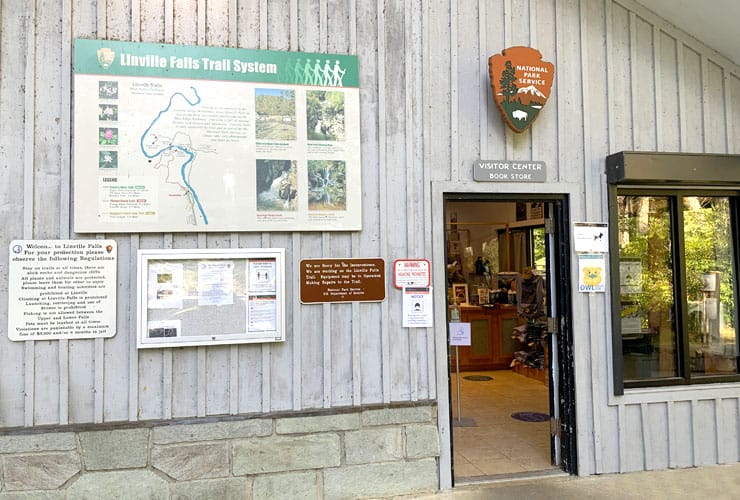
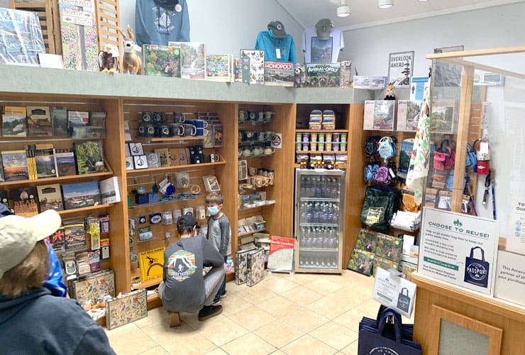
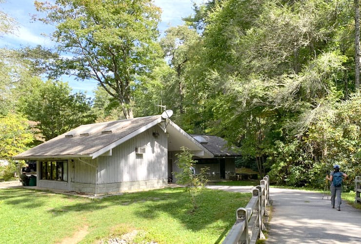
Linville Falls Road ends where the main parking lot begins. The Visitor Center is small but there is normally a ranger in front of the entrance who is there to answer any questions you might have including swearing in kids as Junior Park Rangers. Inside you can get information on the trail system and enjoy the gift shop featuring a wide array of books, puzzles, clothing, backpacks, postcards, etc. There are clean restrooms available as well as maps to the trails.
Erwins View Trail

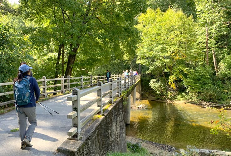
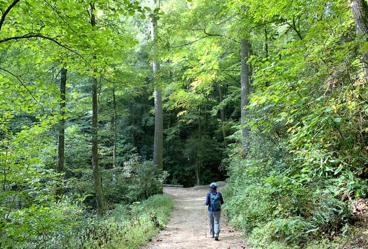
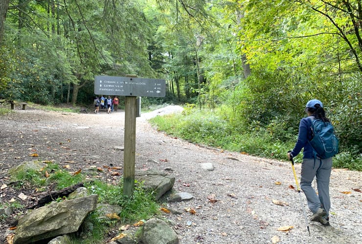
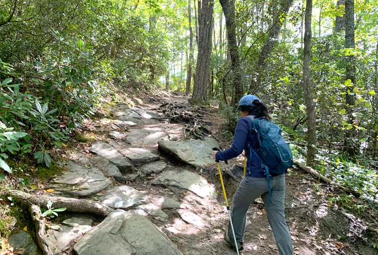
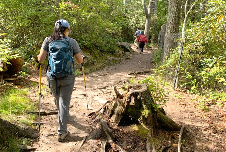
Just past the Visitor Center you’ll cross a bridge over the Linville River and begin your 1.6 mile (2.6 km) out-and-back ascent that has four stops featuring overlooks of both Linville Falls and Linville Gorge. The path starts out wide and relatively flat as you walk parallel to the Linville River. Each of the stops have clear signage that tell you the name of the overlook as well as mileage markers. Along the way you’ll encounter dense forests with a few spectacular trees including one reminiscent of Northern California’s Redwood City or Muirlands, rocky paths and exposed tree roots. While this trail can get crowded, especially at the beginning, it’s wide enough to never feel congested.
Upper Linville Falls

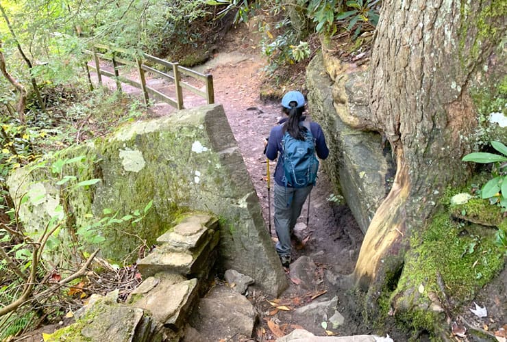
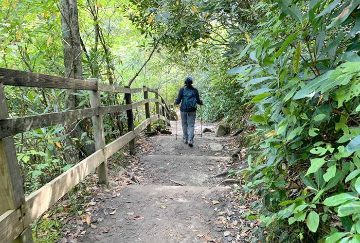
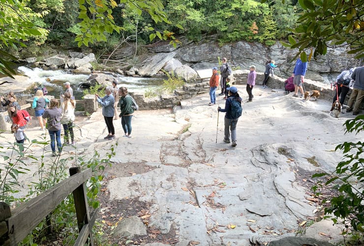
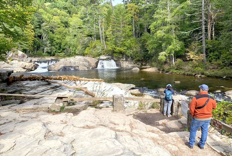
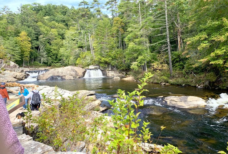
About a half-mile from the Visitor’s Center is the first stop, the Upper Falls Overlook. After a short descent down some stairs, surrounded by large boulders and heavy shrubbery, you begin to see water to your left. A final few stone steps brings you to a large layered and tiered flat stone platform perfect for enjoying the natural water show before you. To your left are two small cascades emerging from several large boulders into a calm pool that gradually gives way to gravity.
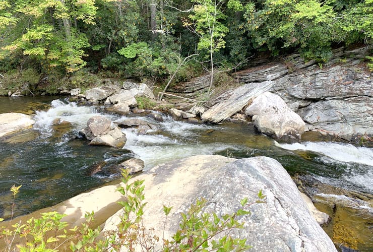
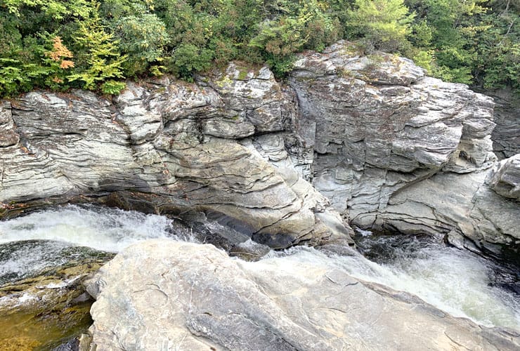
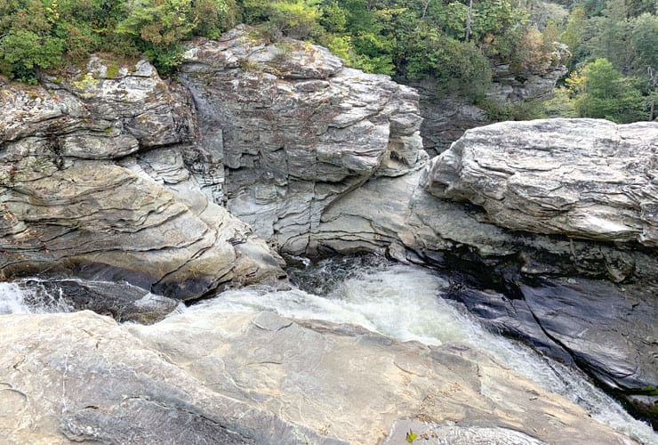
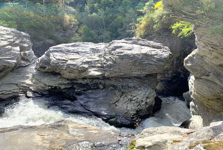
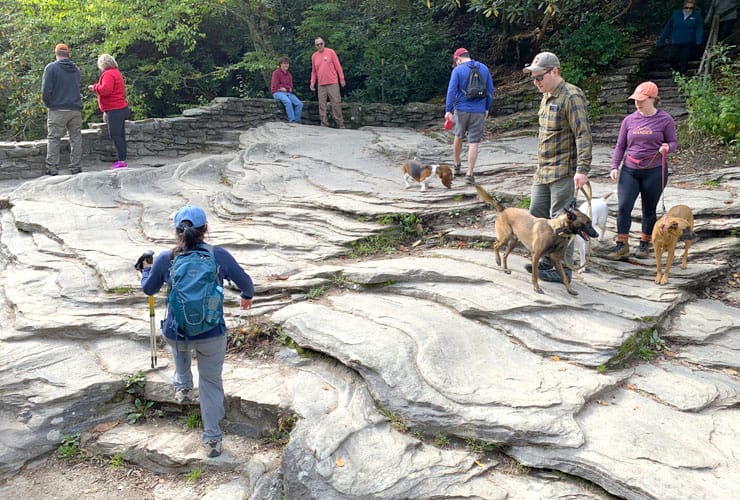
The calm stream becomes whitewater that quickly turns into a violent current hurdling around the curved rock face dictating its flow. As the water turns the corner, and its quickening descent down into the canyon, it picks up speed and purpose. It takes one more turn until it disappears between massive boulders and the mountainside. Where the water goes from there is revealed with each of the other stops along the trail. As powerful as the water is, the surrounding boulders are just as impressive.
Chimney View

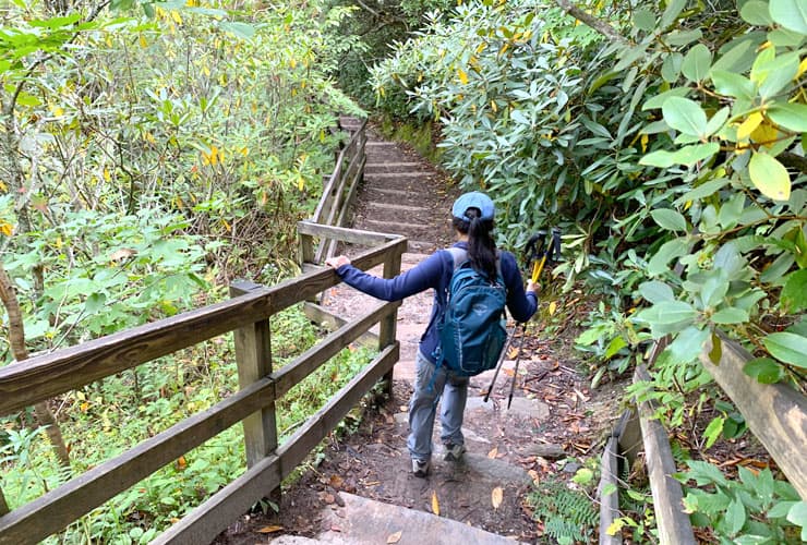
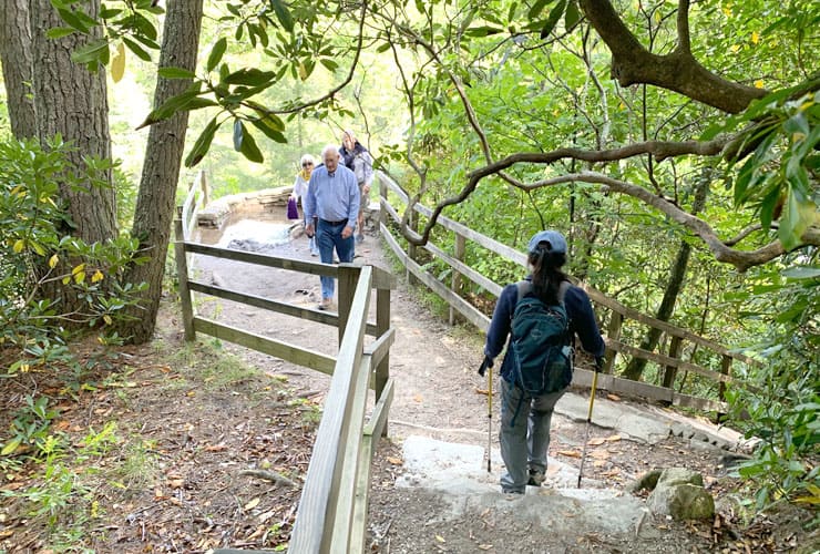
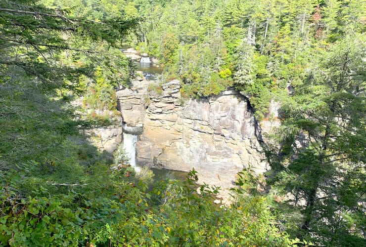
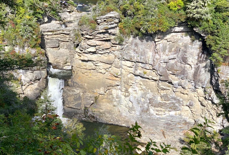
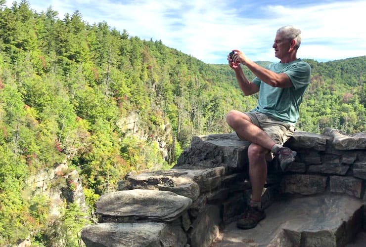
Back on the main trail you’ll continue for another quarter mile until you see the sign for Chimney View Overlook. You’ll proceed down a combination of stone, wood and dirt steps to a small platform framed by a short stone wall. This isn’t the best vantage point but it does allow you to see both the Upper Falls area you just visited plus the beautiful Lower Falls most associated with Linville Falls.
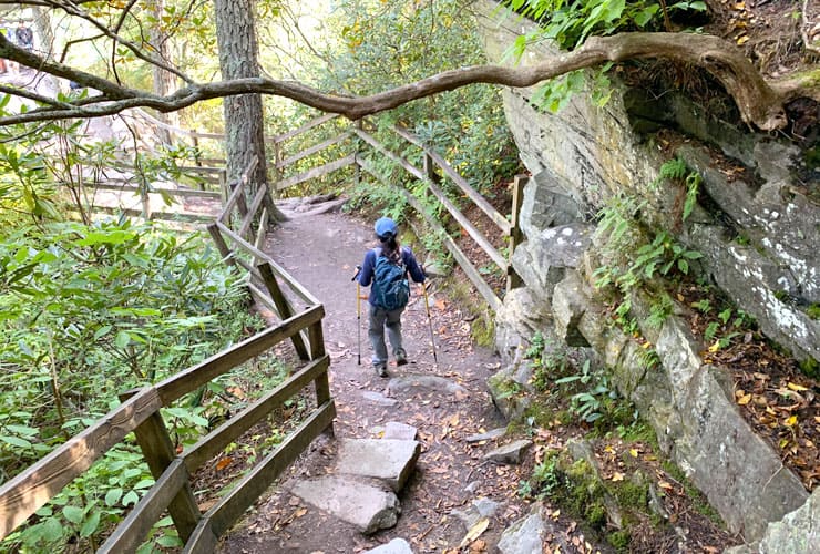
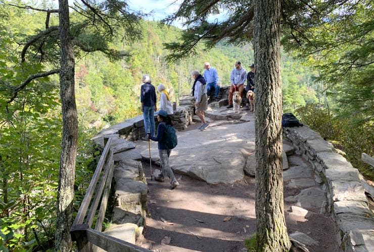
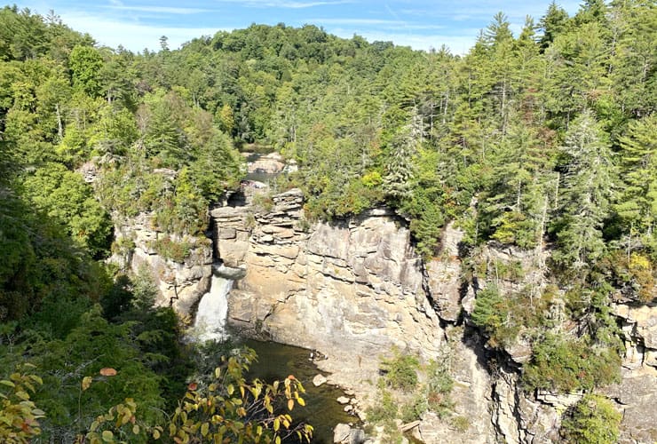
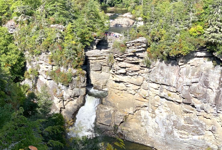
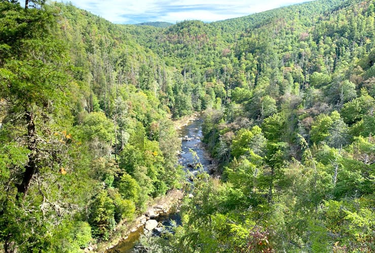
There is an additional vantage point available if you proceed down a second set of stone steps. This perspective provides an even better view of the upper and lower Linville Falls and you can also follow the Linville River through the gorge. Please be careful as these platforms have shear drops over the edges that would most certainly be fatal.
Erwins View
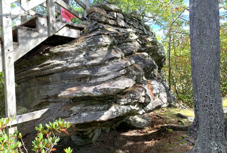
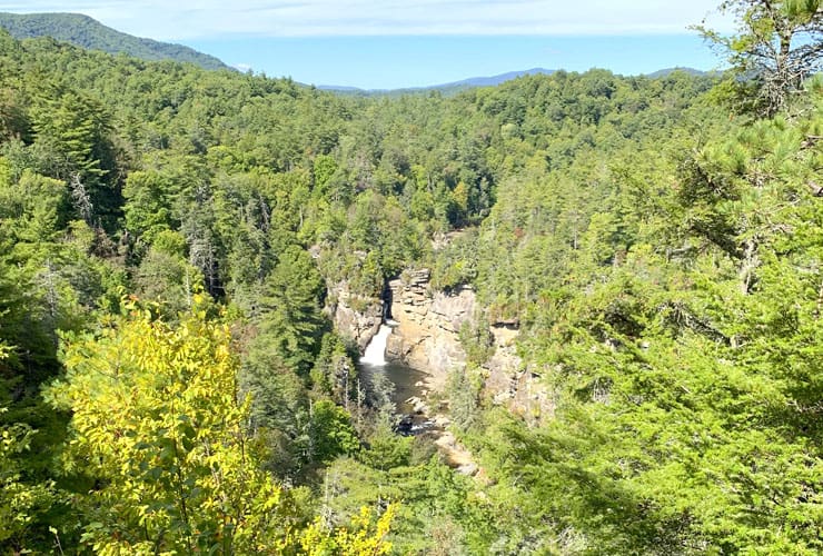
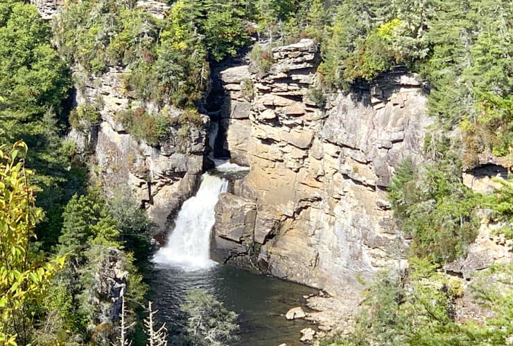
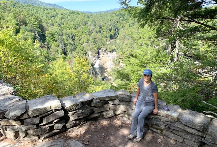
Towards the end of the Erwins View Trail you have a fork. Straight ahead is the Linville Gorge View and to your left is a path to Erwins View. After a short easy walk you’ll see a massive layered rock topped by a wood platform that turns into a spacious overlook onto the lower basin and the lower Linville Falls. It is a perfect place for a picture postcard of a loved one. Erwins View is also the highest point of your hike at 3,330’ (1,015 m) in elevation.
Linville Gorge View

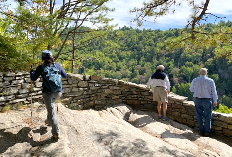
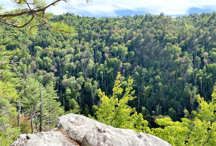
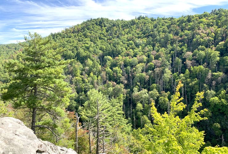
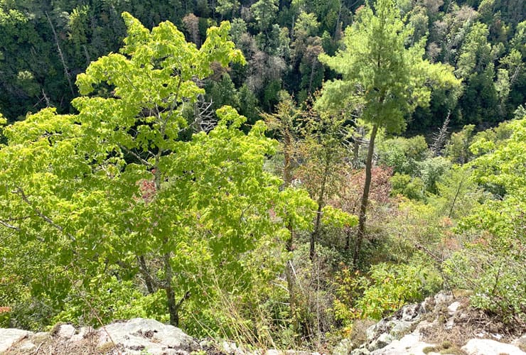
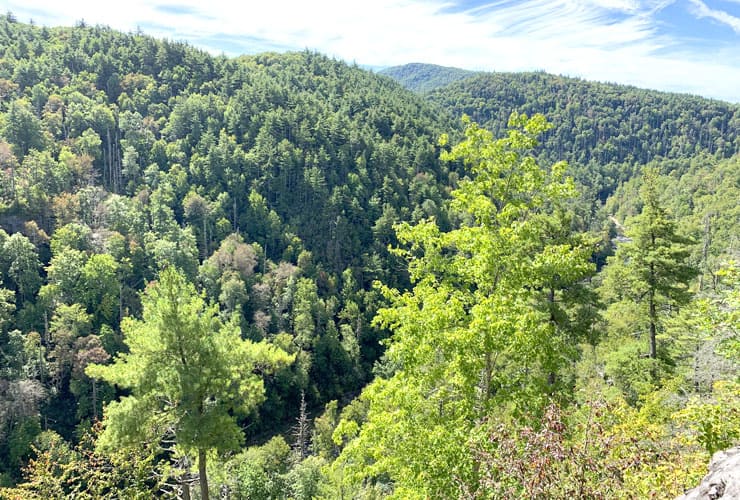
The Linville Gorge view is spectacular but, be warned, if you have any issues with height be mindful of getting too close to the edges. The layered stone platform descends to a 2½’ (.8 m) rock wall that overlooks a deep cavern into the heart of Linville Gorge. The depth and enormity of the gorge is breathtaking with the river along the basin surrounded on both sides by massive trees and dense forests.
Linville Gorge Trail

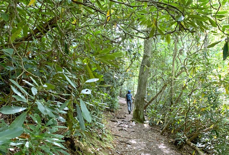
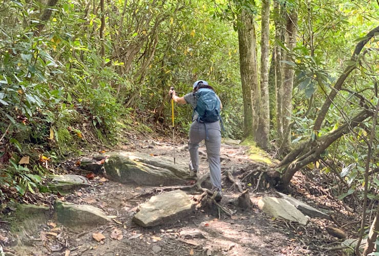
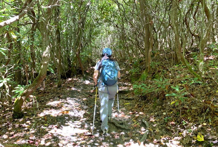
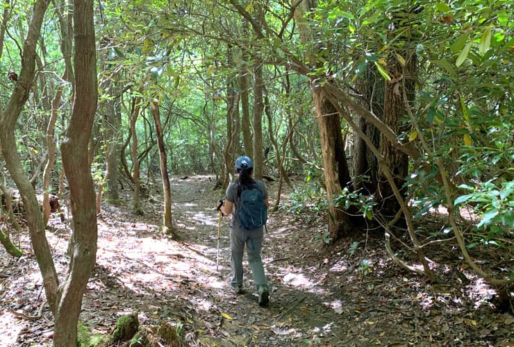
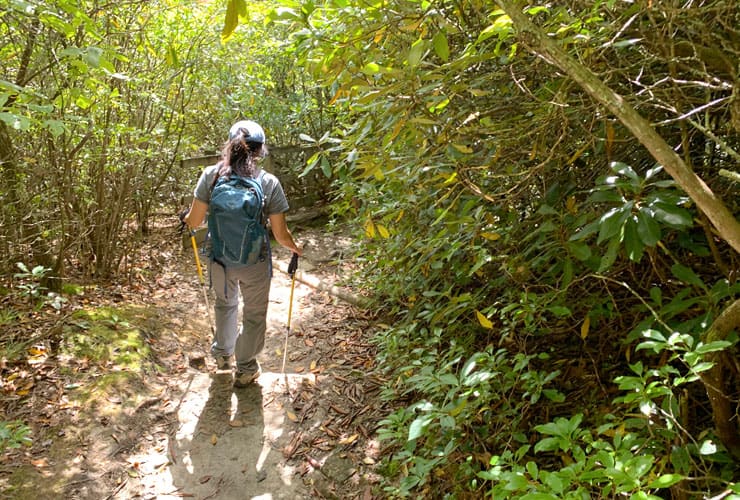
The Linville Gorge Trail covers around 1.5 miles (2.4 km) out-and-back. It is far less crowded than that of Erwins View and far more of a challenging hike, particularly the Linville Falls Plunge Basin spur trail. While not at the level of Dragons Tooth or Tinker Cliffs, the constant shifts from declines to sharp inclines accompanied by rocky and exposed tree root terrain make for a challenging hike. The upside is the surroundings are beautiful and the accomplishment quite invigorating. Ultimately the payoff is the basin and overlook views of the Lower Linville Falls.
Linville Falls Plunge Basin

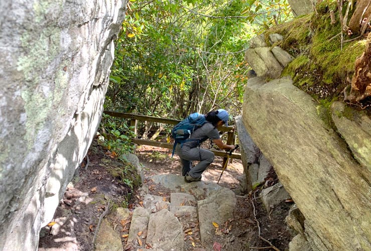
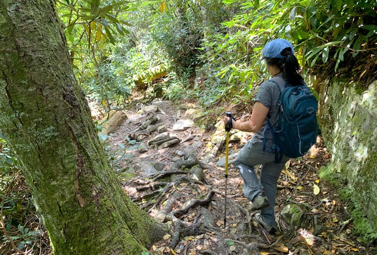
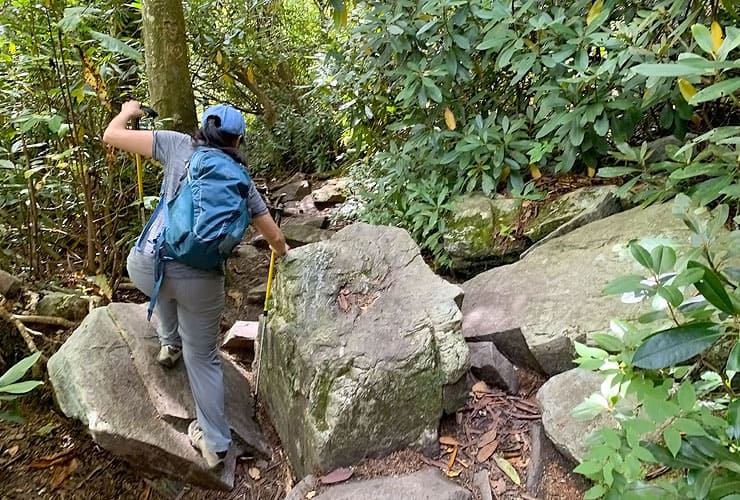
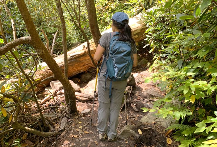
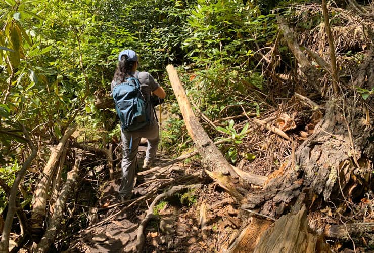
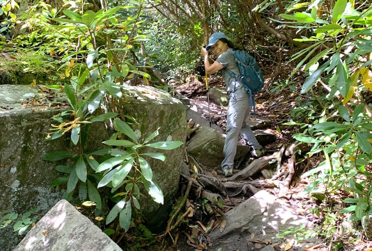
The trail to the Linville Falls Plunge Basin is the most difficult hiking throughout the Linville Gorge but also the most rewarding. The 0.8 mile (1.3 km) out-and-back trail has very few flat or even sections. Having a good pair of rugged hiking shoes really pays off on trails like these. Expect to step on stones, rocks, boulders and tree roots and navigate around or over fallen trees (watch out for wasp nests). Some sections remind one of a tropical forest in terms of plant life and density. If you enjoy the “roughing it’ park of hiking, you’ll love this spur trail.
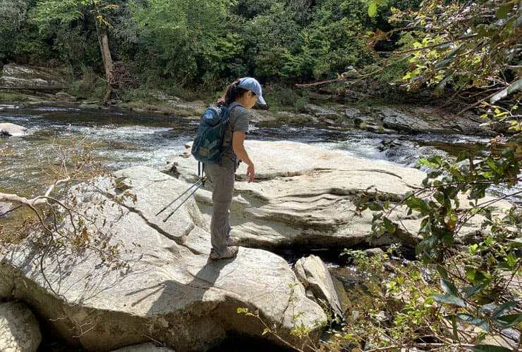
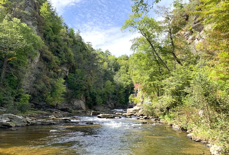
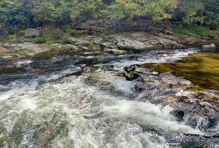
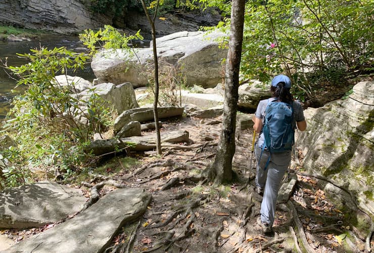
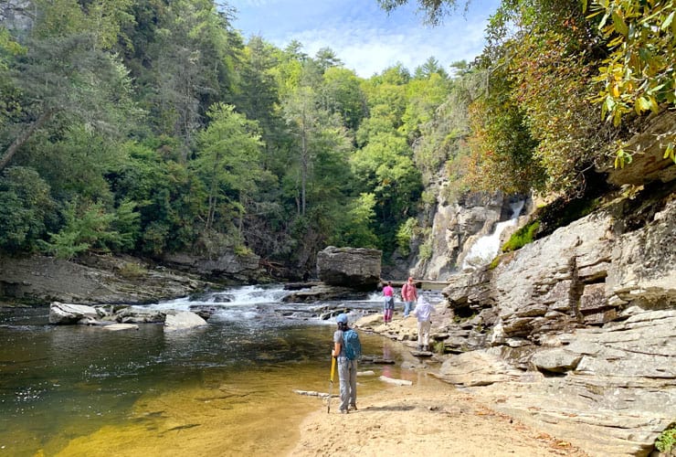
About 20 minutes in you’ll hear, and then see, whitewater to your left. There are access points more than an actual trail but it’s worth the effort to see a beautiful section of the Linville River. There are large flat rocks that allow you to walk out to the edge and get some wonderful views of the whitewater and woods surrounding the Linville River. Just a bit further on the trail opens up a bit until you arrive at a beach with beautiful layered rock faces on your right.
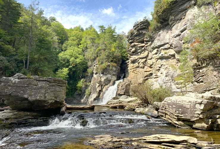
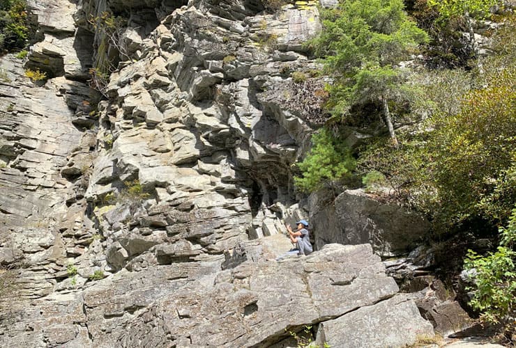
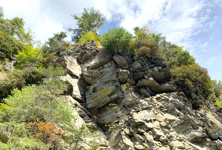
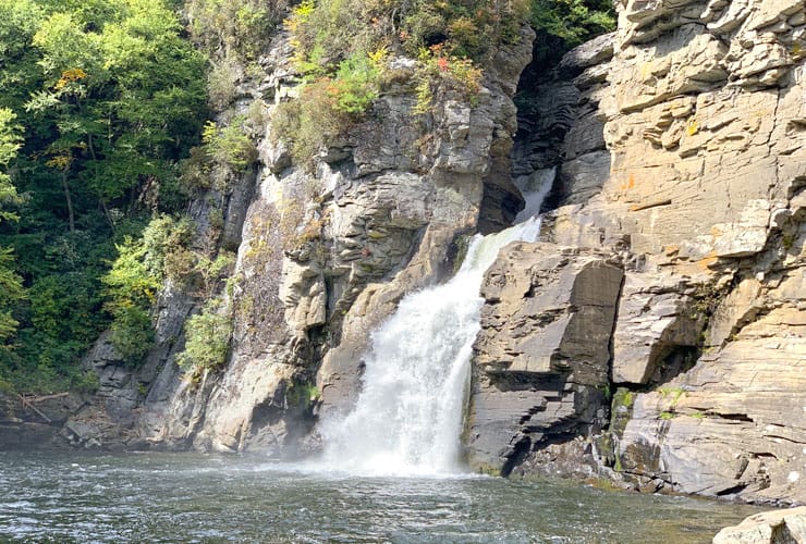
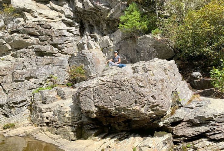
Work your way around the rock face and you begin to see the Lower Linville Falls in front of you. The rock face rises high above the basin level as you make your way around, and eventually over multiple large boulders to get a better view of the lower falls. Some of the boulders are massive but each have hand and foot holds, presumably from generations of use that make the rock scrambling not only doable but also quite fun. Local Native Americans used the final 45’ (13.7 m) drop of the Lower Falls as a way to execute prisoners.
Plunge Basin Overlook

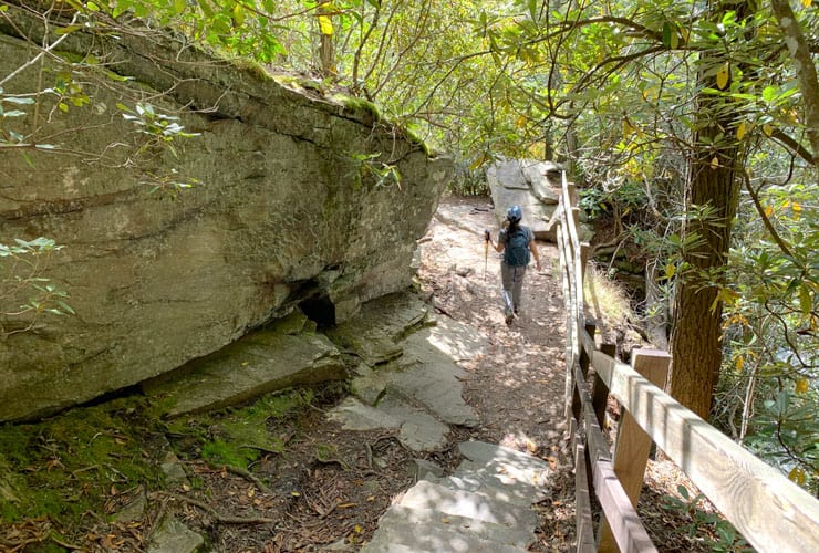
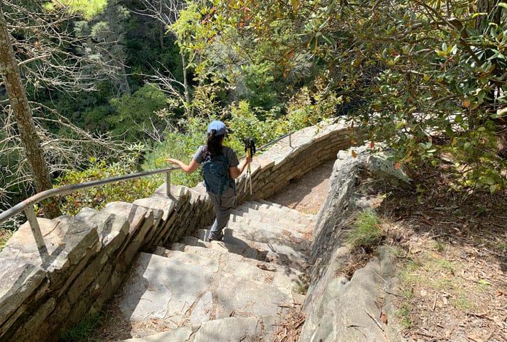
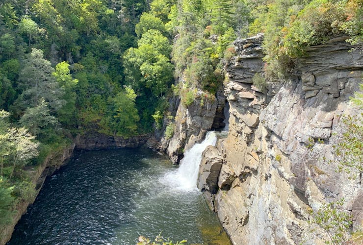
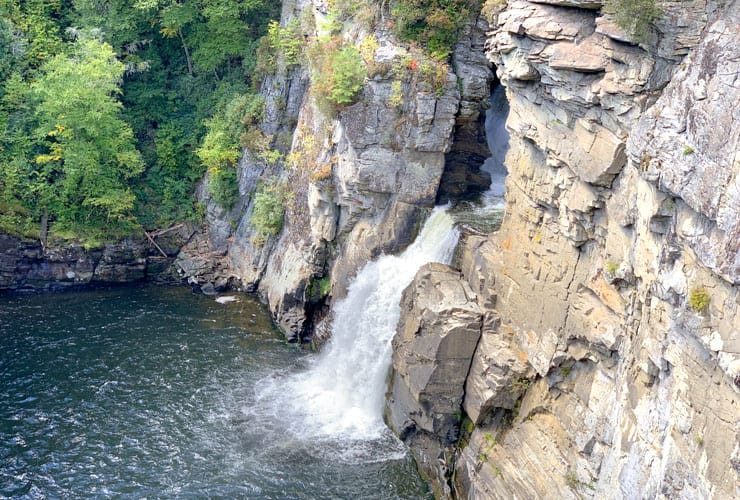
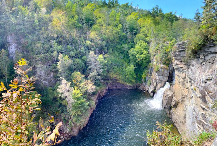
If you head back to King Street along South Fairfax Street you’ll run into a narrow alley to your right that used to be so common in colonial cities like Boston. Swifts Alley, formerly known as Printers Alley, was once home to (2) Alexandria newspapers, the Alexandria Advertiser and the Virginia Journal. Today it is just a cool cobblestone and brick path with some beautiful homes and patios.
Duggers Creek Trail

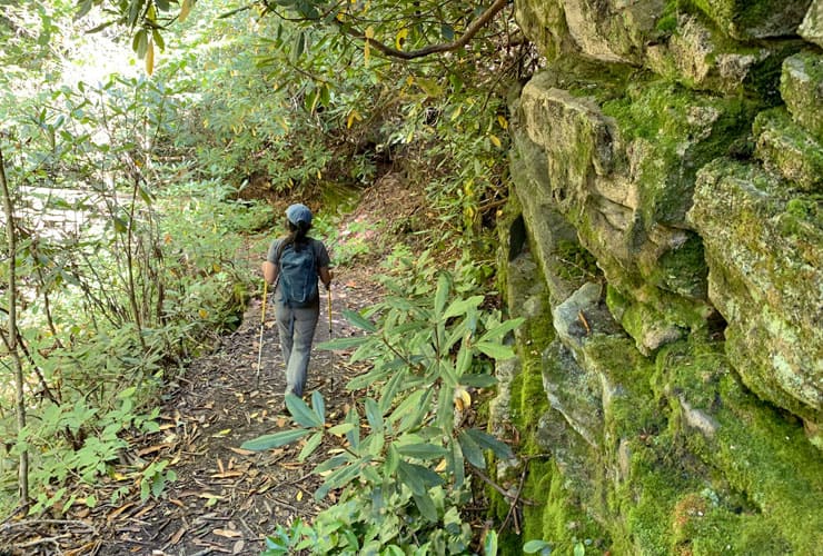
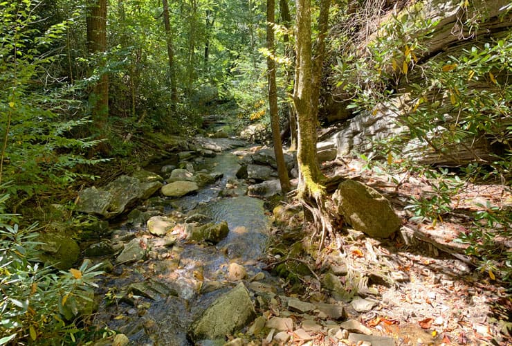
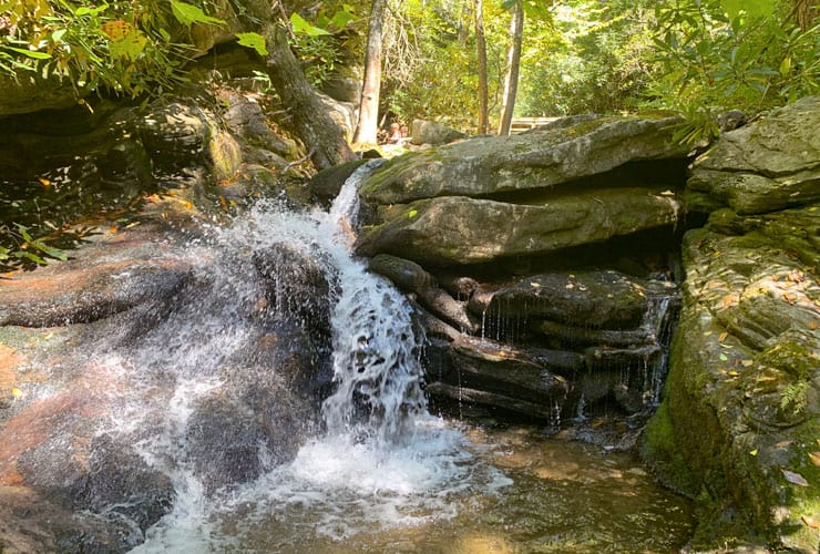
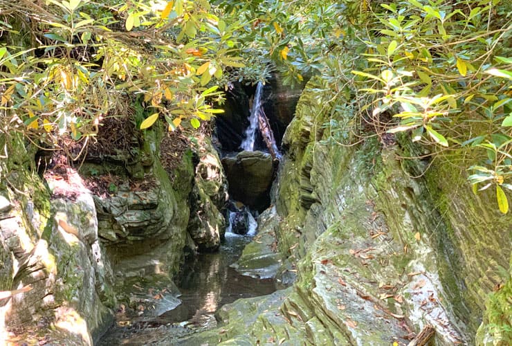
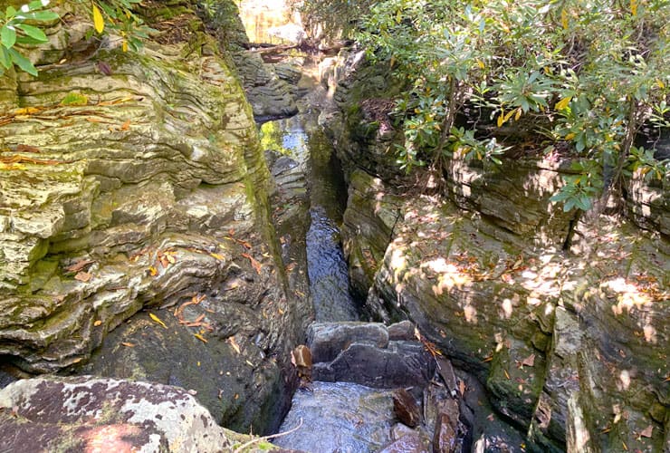
If you still have the energy there is another short trail that is worth 20 minutes of your time to explore. As you backtrack on the Linville Gorge Trail, and just before you get to the Visitor’s Center, there is a sign directing you to the Duggers Creek Loop Trail. About 5 minutes along you pass a large moss-covered rock face on your right followed by a wooden bridge. Below the bridge is a really cool little brook with a few small cascades that combine to create a very peaceful ambiance. Above the bridge, through the bookended rock walls, is a small waterfall. We explored above the bridge looking for access to the falls. We found a spur trail that may, or may not, have been “official” that took us to the top of the falls. Not as dramatic as we were hoping for but a beautiful view of the intricate rock walls framing the water.
Famous Louise’s Rock House Restaurant
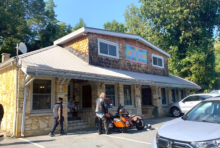
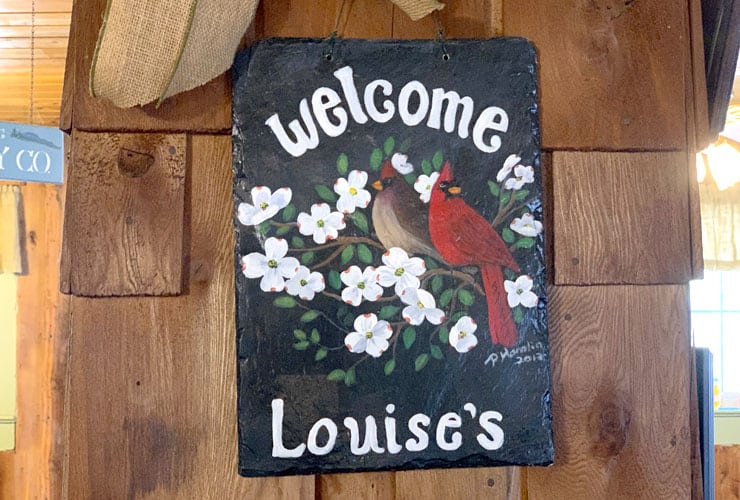
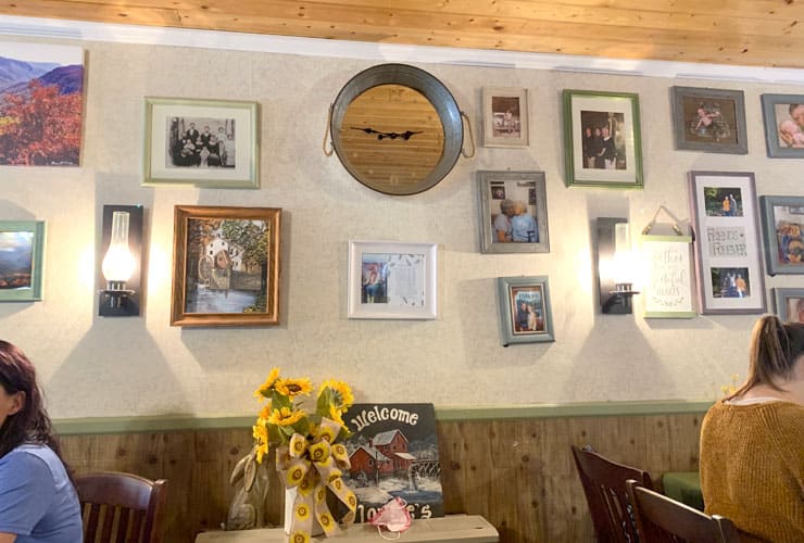


As mentioned before, there is only one restaurant to choose from and, luckily, it was excellent. Famous Louise’s Rock House Restaurant has a wonderful country feel with lots of old photos, assorted oddities and memorabilia adorning its walls. Most important, the food was fantastic. I can truly say I had one of the best burgers I’ve ever eaten and my onion rings, and Ramie’s sweet potato fries were amazing. The service was fabulous, friendly and efficient despite every table being filled. They are open Wed-Sun and feature traditional Americana and southern comfort fare. Highly recommended!
Linville Falls Lodge & Cottages
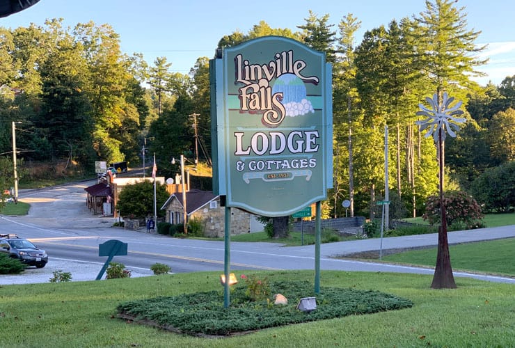
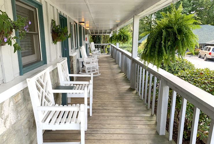
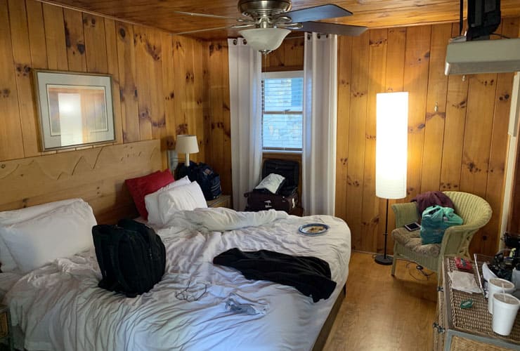
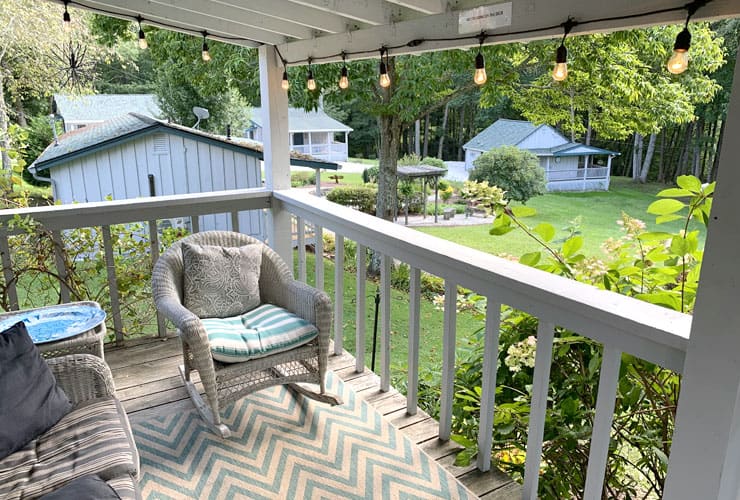
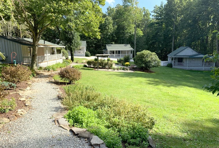
With only one lodging option available we were highly impressed by the Linville Falls Lodge & Cottages. Located across the street from Louise’s and the country store, the lodge sits on a few beautifully manicured acres with 5 cottages and 9 rooms with rocking chairs available on their outdoor decks. The rooms have a true country lodge feel complete with all of the amenities (including strong water pressure), wood paneled walls and floor, dresser, wifi and even a little snack room with coffee, fruits and energy bars. Wonderful staff, reasonable rates and convenient location to Linville Falls and Linville Caverns.
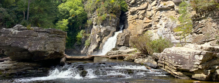
Linville Falls is a spectacular, and utterly unique, experience that can be enjoyed by the entire family. Whether you explore all five of the vantage points, or just a few, the “Grand Canyon of the Southern Appalachians” will be an adventure not soon forgotten. The dual payoff of both overlooks and waterfalls makes for a spectacular day.
What is your favorite hiking experience? We’d love to hear all about it!

